Construction Drone Services
That Protect Your Project
and Satisfy Your Lenders
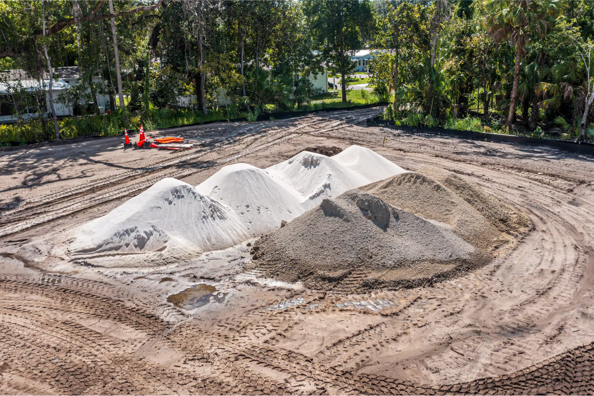
From progress monitoring to pre-construction documentation, we give project managers across Ocala, Gainesville, and North Central Florida the aerial intelligence they need to stay ahead of every project.
Construction Progress Monitoring
& Dispute Protection
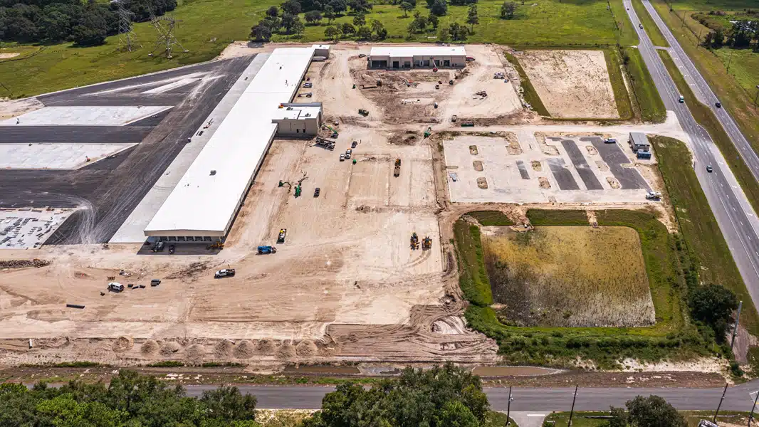
Our flagship service — scheduled aerial documentation that keeps stakeholders confident, protects you from disputes, and eliminates the PM time sink of compiling site photos. Serving project managers across Ocala, Gainesville, and North Central Florida.
Every flight produces timestamped, GPS-tagged 20MP stills and 4K video organized by milestone — formatted for lender draw requests, stakeholder portals, and dispute resolution from day one.
- 20MP aerial photo sets
- 4K progress video flyovers
- GPS-tagged, timestamped files
- Before/after comparisons
- Secure digital delivery portal
- Stakeholder-ready reports
- ▸Lender draw documentation
- ▸Out-of-state stakeholder reporting
- ▸Milestone verification
- ▸Subcontractor accountability
- ▸Safety compliance records
- ▸Dispute resolution evidence
Pre-Construction
Drone Documentation
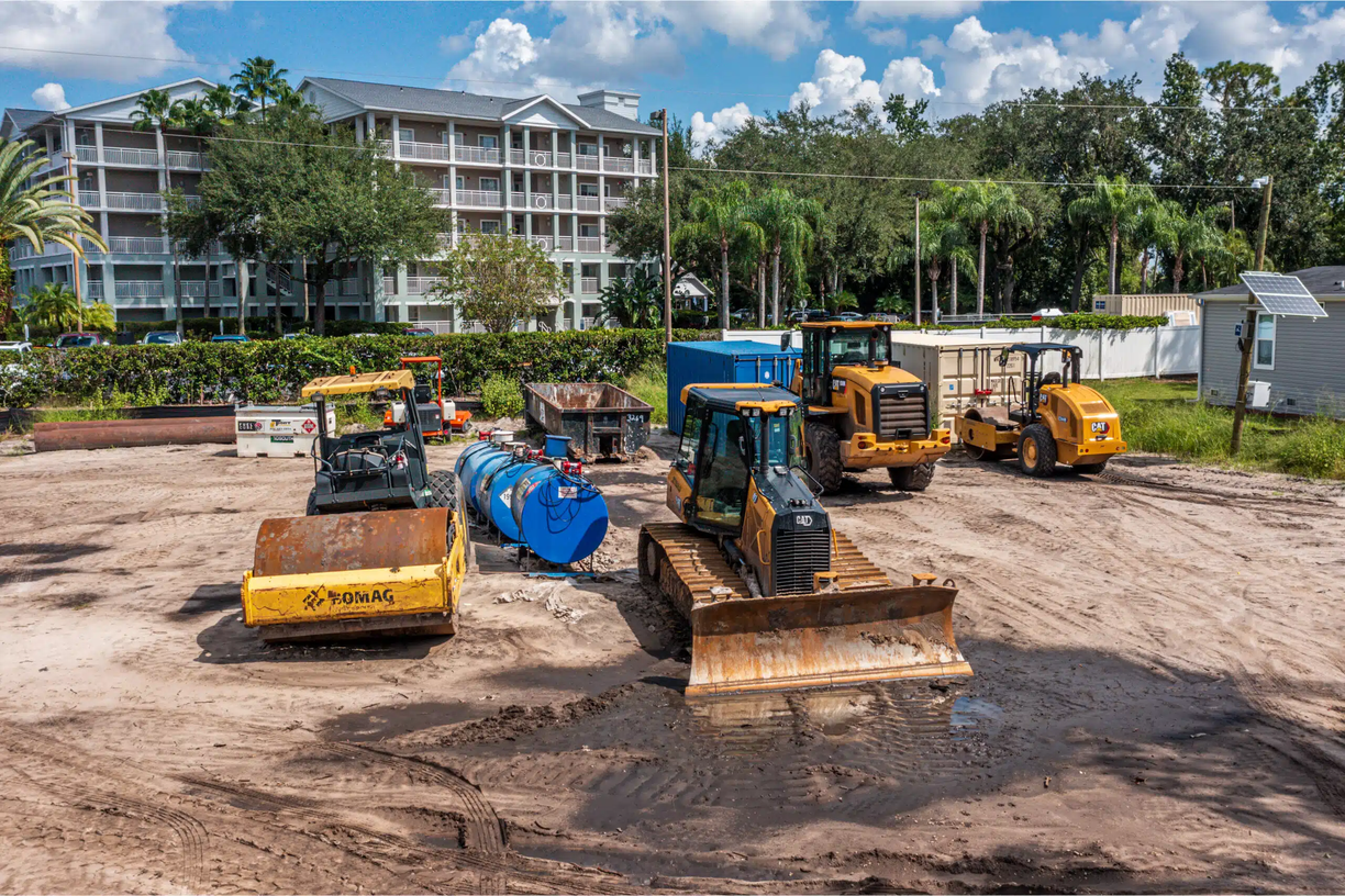
Every construction project carries risk that begins before the first shovel hits the ground. Neighbor damage claims, drainage disputes, and undocumented existing conditions can derail a project months after mobilization. Our pre-construction documentation captures a comprehensive aerial baseline of your site and all adjacent properties — creating a timestamped, GPS-tagged record that protects your project from day one.
- 20MP aerial photo set (multi-altitude)
- 4K video flyover of full perimeter
- GPS-tagged, timestamped files
- Flexible delivery — you set the timeline
- Annotated site condition notes (opt.)
- ▸Neighbor dispute prevention
- ▸Lender pre-construction docs
- ▸Subcontractor scope verification
- ▸Insurance baseline documentation
- ▸Drainage & grading baseline
Safety & Structural
Inspection
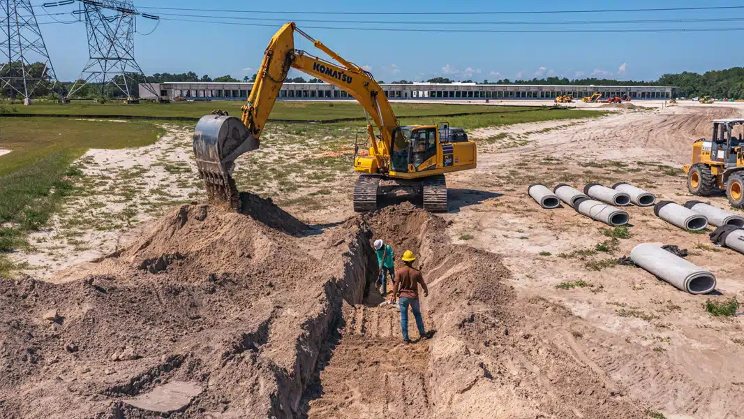
Eliminate fall exposure for your crew. Our drone inspections capture high-resolution imagery of roofs, facades, and elevated structures without putting a single worker at height — and the resulting annotated reports meet the documentation standards your safety program requires.
- Annotated inspection report (PDF)
- High-resolution defect imagery
- GPS-tagged issue locations
- Thermal imaging (optional)
- Recommended action items
- ▸Construction site safety audits
- ▸Roof & facade assessment
- ▸Post-storm damage documentation
- ▸Insurance claim support
- ▸Pre-purchase building inspection
Aerial Photography
& Cinematic Video
Show clients the scale of what you're building. Win more bids with professional aerial photography that demonstrates your firm's capabilities. Impress investors with cinematic 4K video that brings your project to life.
- 20MP professional stills
- Multiple angles & altitudes
- Color-corrected, print-ready
- Commercial use license
- Flexible delivery — you set the timeline
- ▸4K cinematic footage
- ▸Edited highlight reel
- ▸Social media cuts (15s/30s)
- ▸Color grading + title cards
- ▸Brand integration available
Site Mapping &
Earthwork Verification
Know exactly where your earthwork stands. Our georeferenced orthomosaic maps let site superintendents verify grading, track cut/fill quantities, and compare current conditions against engineered plans — all from a single aerial flight. Available standalone or bundled with progress monitoring.
- 2D Orthomosaic maps (GeoTIFF)
- Georeferenced aerial overview
- Earthwork volume estimates
- Before/after site comparison
- AutoCAD/Civil 3D compatible
- ▸Earthwork billing disputes
- ▸Grading compliance verification
- ▸Site planning & logistics
- ▸Change order documentation
- ▸Cut/fill quantity tracking
How North Central Florida PMs
Use Our Services
Ben E. Keith Distribution Center — Alachua, FL
67 consecutive weekly flights documenting a 707,000 sq ft industrial build — zero missed visits, with the aerial archive supporting lender draws and pay application review.
Read Case Study →Averitt Freight Service Center — Ocala, FL
34 of 34 scheduled visits flown and delivered on time on a 53-door cross-dock terminal — closing with twilight and night photography of the completed facility.
Read Case Study →Coquina Crossing 55+ Expansion — St. Augustine, FL
37 consecutive monthly visits — and counting — documenting land clearing, stormwater ponds, underground utilities, and homesite grading beside an occupied community.
Read Case Study →Drone Documentation vs.
Traditional Site Visits
| Factor | Drone Documentation | Traditional Site Visit |
|---|---|---|
| Cost per visit | $250–$400 | $800–$2,000+ |
| Stakeholder access | 24/7 digital portal | Scheduled site visit only |
| Documentation quality | 20MP GPS-tagged, timestamped | Phone photos, inconsistent |
| Legal defensibility | Court-admissible metadata | Questionable admissibility |
| PM time required | Zero — we handle everything | 1–3 hours per visit |
| Lender draw support | Formatted for draw requests | Manual compilation required |
| FAA compliance | Part 107 certified, LAANC authorized | N/A |
| Insurance coverage | $2M+ aviation liability | None |
Which Service Is
Right for You?
| If you need to... | Start with | Then consider adding |
|---|---|---|
| Document a site before breaking ground | Pre-Construction Documentation | Progress Monitoring |
| Keep stakeholders updated on an active project | Progress Monitoring | Site Mapping |
| Verify earthwork and grading against plans | Site Mapping | Progress Monitoring |
| Inspect a roof, facade, or elevated structure | Safety Inspection | Progress Monitoring |
| Win bids or impress investors with aerial content | Photography & Video | Progress Monitoring |
| Complete documentation for an active build | Progress Monitoring + Mapping bundle | Pre-Con Documentation (if not yet started) |
Not sure where to start? We'll recommend the right service for your project — no commitment required.
Get a Free RecommendationFrom First Call to
Deliverables in Your Inbox
Hiring a drone photography service for your construction site shouldn't create work for your team. Our process handles airspace authorization, scheduling, and site coordination end to end — you review deliverables, nothing else.
Tell Us About Your Project
Call or fill out our form. We'll ask about your project type, timeline, stakeholder requirements, and documentation needs — and respond with a custom proposal.
We Handle All the Logistics
FAA airspace authorization, site hazard review, flight path planning, and superintendent coordination — we handle everything. You don't lift a finger.
We Fly, You Keep Working
Our FAA-certified pilot arrives on schedule, coordinates with your site super, and completes the flight in 1–3 hours. Your crew doesn't stop. Your schedule doesn't slip.
Deliverables in Your Inbox Within 48 Hours
High-resolution photos, 4K video, and any additional deliverables — organized by date, GPS-tagged, and ready to share with stakeholders. Expedited delivery available on request.
Construction Drone Services
FAQ
Single-visit documentation starts at $250 per flight, with pricing scaling by site size, deliverables, and airspace requirements — and we never charge travel or mobilization fees, anywhere we fly. Recurring programs — weekly, bi-weekly, or monthly — are priced per engagement and cost less per visit than one-off flights because planning and delivery are already set up. Every project gets a custom quote; there's no charge for the assessment.
A recurring program includes scheduled flights at your chosen cadence, 20MP aerial stills and 4K video from each visit, timestamped and GPS-tagged metadata on every image, and organized cloud delivery. Add-ons include orthomosaic site mapping, pre-construction baseline documentation, safety inspections, and twilight or night photography at project completion.
Ground photos show fragments; aerial documentation shows the whole site in one frame — the only practical way to capture a large pad, a full utility run, or paving progress across acres. Because our flights are scheduled and systematic, the sets are comparable visit to visit, which is what lets the archive function as evidence for draw requests, pay applications, and dispute resolution rather than a loose collection of pictures.
You don't — we do, and we handle it. Our pilots are FAA Part 107 certified and obtain LAANC airspace authorization whenever a site sits in controlled airspace, such as near Ocala International (OCF) or Gainesville Regional (GNV). Authorization, insurance, and site coordination are all part of the service.
If your build is active, start with progress monitoring — it's the core recurring service everything else attaches to. If you haven't broken ground, start with pre-construction documentation to lock in a defensible baseline first. The decision guide above maps common situations to services, and a free site assessment will get you a specific recommendation.
Tell Us About Your Project
We'll Recommend the Right Package
Most project managers start with a free aerial site assessment — zero commitment, zero obligation. We'll review your project type, timeline, and documentation needs and recommend the right service.