
Solar Farm Construction
Drone Documentation
Williston, Florida
Recurring aerial progress documentation for a utility-scale solar energy project in Levy County — 14 visits, 14 on-time deliveries, covering every phase from site mobilization through final commissioning.
Utility-Scale Solar Farm
Recurring Aerial Progress Documentation
This project involved recurring drone documentation of a utility-scale solar energy buildout in Williston, Florida — a community in Levy County approximately 30 miles southwest of Gainesville. The site encompasses a large-acreage solar array, battery storage area, substation, and operations and maintenance yard.
352 Construction Drone Services was engaged to provide milestone-based aerial documentation across the full construction lifecycle, from initial site mobilization in May 2025 through project completion in March 2026. Flights were scheduled around major construction milestones to capture meaningful visual progress at each stage.
The client — a Florida-based energy developer — required a consistent visual record to support lender reporting, contractor milestone verification, and internal project management. All deliverables were provided on a structured schedule following each flight.
Project Specifications
| Location | Williston, FL (Levy County) |
| Project Type | Utility-Scale Solar Farm |
| First Flight | May 21, 2025 |
| Final Flight | March 27, 2026 |
| Total Visits | 14 milestone-based flights |
| Zones Documented | Main Array, Storage Area, Substation |
| Deliverables | Aerial photography + 4K video |
| Delivery Schedule | Within 48 hours of each flight |
| On-Time Rate | 14 of 14 (100%) |
| Certification | FAA Part 107 Commercial |
| Airspace | Class G — Levy County |
Solar Farm Construction Timeline
May 2025 — March 2026
Drag the scrubber to move through the chronological aerial record. Each thumbnail represents one documented visit. Photos are blurred for client confidentiality.
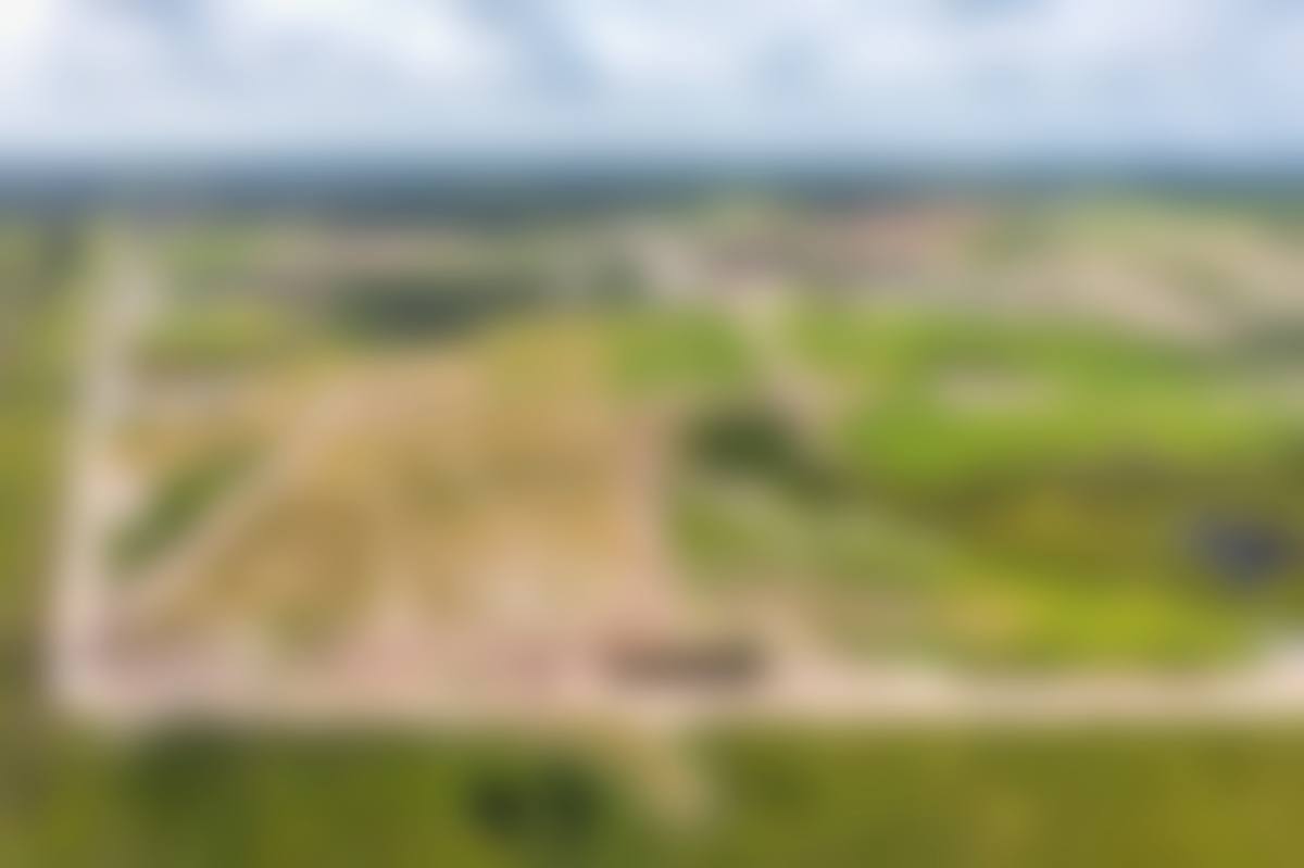
Site mobilization — pre-construction baseline
Site Mobilization vs.
Project Completion
Drag the divider to compare the site at first documentation (May 2025) against the final visit (March 2026). The transformation from cleared land to a fully operational solar array is visible across the entire footprint. Photos are blurred for client confidentiality.
Drag the center divider left or right to compare
Five Phases of Solar Farm
Aerial Documentation
Site Prep & Earthwork
Visits 1–3Initial mobilization, clearing, grading, and erosion control across the project footprint. Drone documentation captured baseline site conditions before any infrastructure was installed — critical for lender reporting and environmental compliance.
Racking & Pile Installation
Visits 3–5Driven pile foundations and tracker racking systems installed across the main array field. Aerial documentation tracked installation progress row by row, providing the project team with a consistent overhead record of structural placement.
Panel Installation
Visits 5–10Photovoltaic panel installation across the primary array. Weekly flights captured the visible transformation of the site as solar panels were mounted and the field transitioned from bare racking to a fully populated array.
Electrical & Substation
Visits 7–12Conduit runs, inverter pad construction, and substation equipment installation. Drone documentation of the substation area and O&M yard provided the project team with a visual record of electrical infrastructure progress.
Commissioning & Closeout
Visits 12–14Final panel rows, perimeter fencing, site restoration, and commissioning preparation. The final three visits document the project's transition from active construction to operational readiness.
Drone Deliverables for
Solar Construction Documentation
High-Resolution Aerial Photography
20-megapixel aerial stills captured from consistent altitudes and angles across the main array field, battery storage area, and substation. Each photo set provides a complete overhead record of site conditions at the time of the flight — suitable for lender reporting, contractor milestone verification, and internal project management.
4K Video Documentation
Cinematic 4K video footage of the complete site, organized by zone (main area, storage area, substation). Video deliverables provide context that stills alone cannot — showing the scale of the installation, the relationship between site zones, and the pace of construction progress across visits.
Organized Cloud Delivery
All deliverables are organized by visit date and zone, delivered to a structured cloud folder within 48 hours of each flight. The consistent naming and folder structure makes it straightforward to locate specific dates or zones for reporting purposes — no hunting through unorganized files.
The Same Vantage Point,
Every Single Visit
The value of recurring drone documentation depends entirely on consistency. A photo taken from a different altitude, angle, or position on each visit is useful for general awareness — but it cannot support the kind of side-by-side comparison that makes aerial documentation genuinely useful for project management and lender reporting.
For this project, every flight used pre-programmed GPS waypoint missions that replicated the exact flight path, altitude, and camera angles from the first visit. The result is a 14-visit archive where the same vantage points appear in the same position in every deliverable set — making progress comparison straightforward and unambiguous.
Pre-Programmed GPS Waypoints
Flight paths stored and replicated exactly on every visit
Consistent Altitude & Framing
Same camera angle and elevation across all 14 visits
FAA Part 107 Compliance
All flights conducted under commercial drone certification
Milestone-Based Scheduling
Flights timed to capture meaningful construction progress
14 Visits.
14 On-Time Deliveries.
Every deliverable set — photography and video — was delivered within 48 hours of the corresponding flight across all 14 visits. No missed deadlines, no delayed deliveries.
Each visit covered the main array field, battery storage area, and substation — providing complete site coverage in a single mobilization. Deliverables were organized by zone for easy reference.
Complete Visit Log
Solar Farm Drone Documentation:
Common Questions
Utility-scale solar projects span hundreds of acres and take 12–24 months to build. Recurring aerial documentation gives developers, lenders, and EPC contractors a consistent overhead view of progress that ground-level site visits simply cannot provide. It supports lender draw requests, tracks contractor milestone completion, documents environmental compliance, and creates a permanent visual record of the build from groundbreaking through commissioning.
Each visit produced a full set of high-resolution aerial photographs covering the main array field, substation area, storage area, and O&M yard, plus 4K video footage of the complete site. Deliverables were organized by area and delivered on a consistent schedule following each flight.
Lenders financing utility-scale solar projects typically require visual evidence of construction progress before releasing draw funds. Aerial photographs from a consistent vantage point — taken at the same time as each draw request — provide an objective, timestamped record that aligns with the project schedule. This reduces back-and-forth with lenders and accelerates the approval process.
Yes. All flights conducted by 352 Construction Drone Services are performed under FAA Part 107 commercial drone certification. Solar farm sites in Levy County and the surrounding area typically fall within uncontrolled Class G airspace, which simplifies the authorization process. Our pilots conduct a full airspace assessment before each flight and carry aviation-specific liability insurance appropriate for commercial operations over active construction sites.
Yes. For this project, each visit covered three distinct areas: the main panel array, the battery storage area, and the substation. Our pilots use pre-planned waypoint missions to ensure consistent coverage of each zone across every visit, making it straightforward to compare the same area across multiple dates.
This client has requested confidentiality. The blurred images are representative of the actual aerial documentation we captured — they demonstrate the type and quality of coverage provided without revealing identifying details about the site or client. Unblurred deliverables are provided directly to the client.
Yes. 352 Construction Drone Services covers a six-county service area including Alachua, Marion, Levy, Citrus, Hernando, and Sumter counties. We serve solar, industrial, commercial, and residential construction projects across North Central Florida. Contact us to discuss coverage for your project location.
Flight cadence depends on the pace of construction and the client's reporting needs. For this project, flights were scheduled around major construction milestones — roughly every two to four weeks — to capture meaningful visual progress at each stage. We also offer weekly or bi-weekly recurring schedules for projects with faster build rates or more frequent lender reporting requirements.
Explore Our Services
& Service Areas
Construction Progress Monitoring
Recurring aerial documentation for any construction project type
Pre-Construction Documentation
Baseline aerial records before ground is broken
Aerial Photography
High-resolution stills for marketing and reporting
BEK Distribution Center
67-week warehouse construction case study — Alachua, FL
Recurring Drone Documentation
for Your Next Build
Whether you're managing a solar farm, industrial warehouse, commercial development, or residential subdivision — 352 Construction Drone Services delivers consistent, on-time aerial documentation across North Central Florida.