FAA-Certified Construction Drone Services
in Gainesville, Ocala &
North Central Florida
Built for Project Managers, GCs & Site Superintendents
Aerial progress documentation that keeps your lenders satisfied, your stakeholders informed, and your disputes documented — without a single extra site visit.
Our Commitment
Built for the People Who
Run Construction Projects
Project Managers
Stop fielding calls from owners and lenders asking for proof of progress. Our weekly aerial reports give you a timestamped, geotagged visual record you can share instantly — satisfying draw requests, milestone requirements, and stakeholder updates without a single site visit.
Site Superintendents
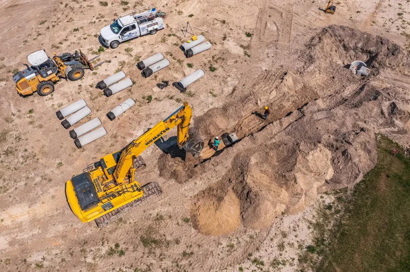
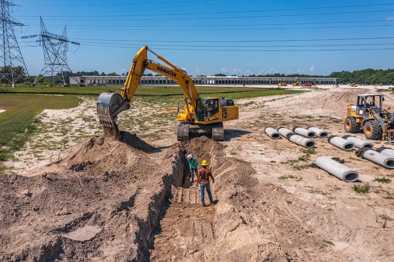
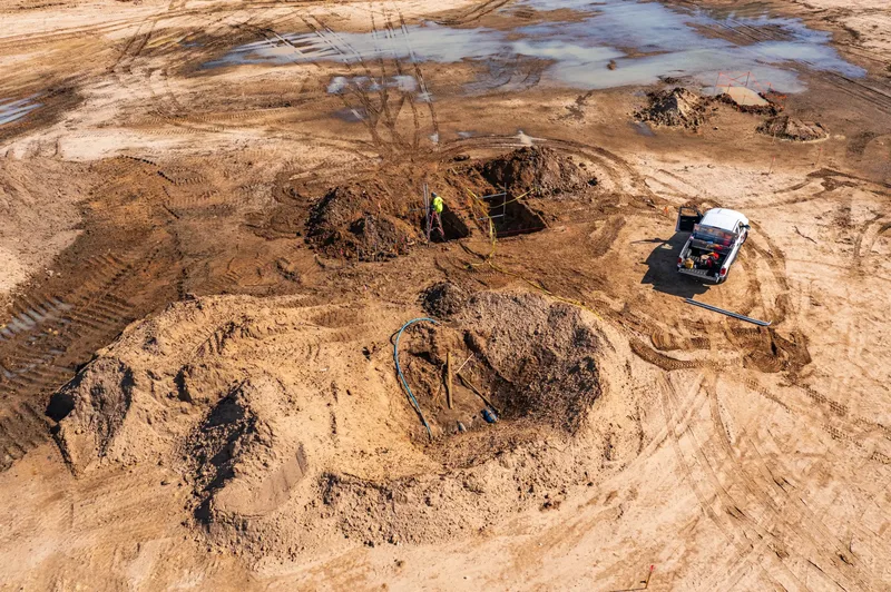
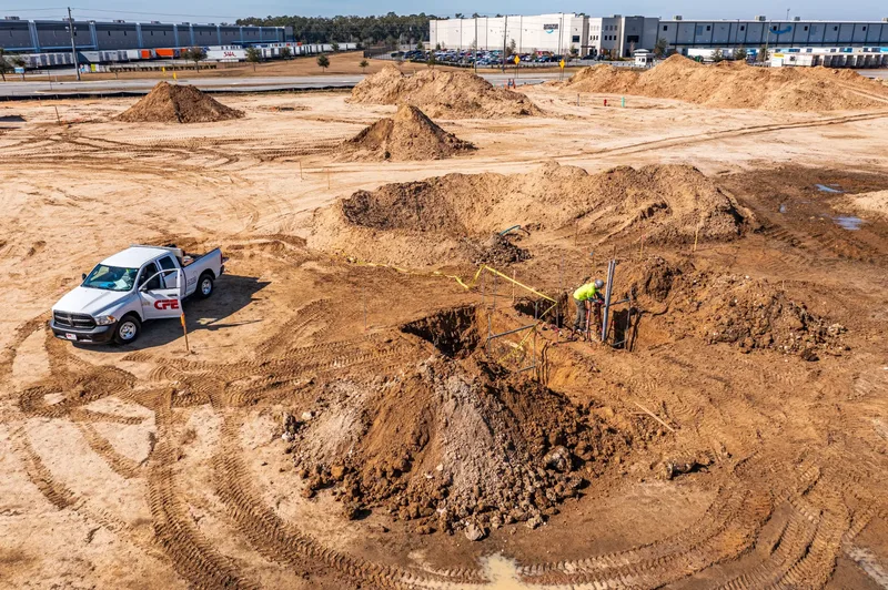
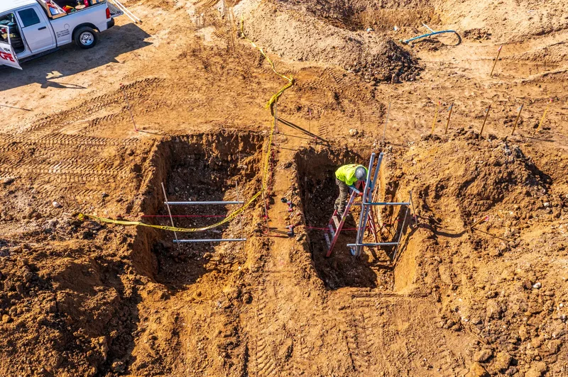
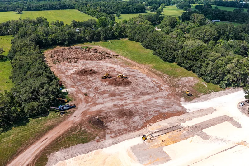
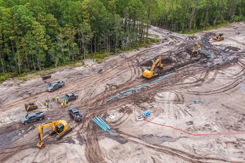
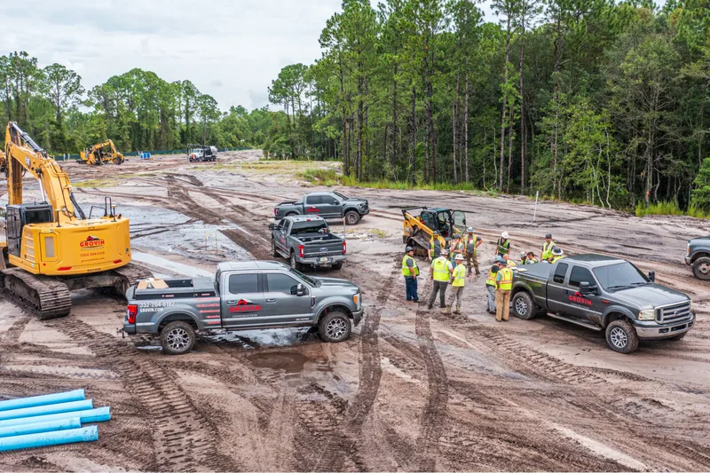
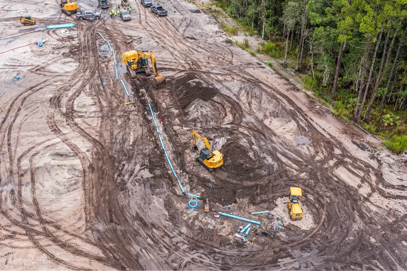
Document earthwork quantities, verify subcontractor progress, and capture pre-pour conditions before concrete is poured. Our aerial imagery gives you a defensible record that protects the project from disputes and keeps grading, drainage, and sequencing on track.
Developers & Owners
Whether you're managing a single-lot build or a 500-acre master-planned community, our aerial documentation keeps your investors confident and your lenders satisfied. No more flying to Ocala to check on your project — we deliver the visual proof directly to your inbox.
Ocala Construction Progress Photography
& Aerial Drone Monitoring
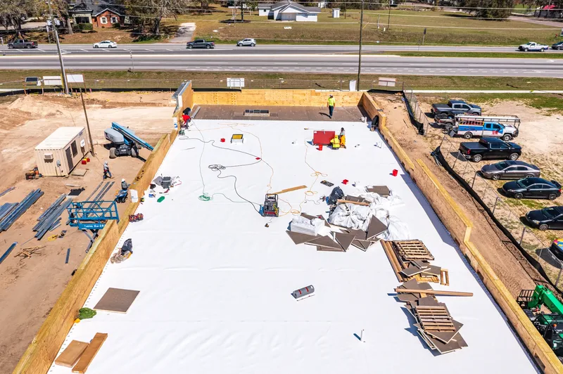
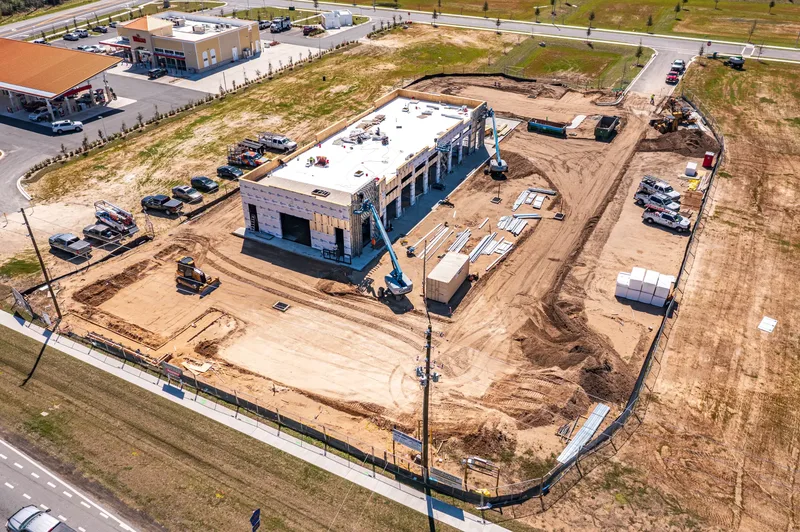
Progress Photography
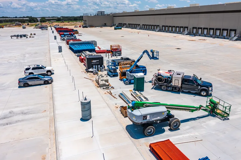
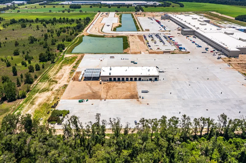
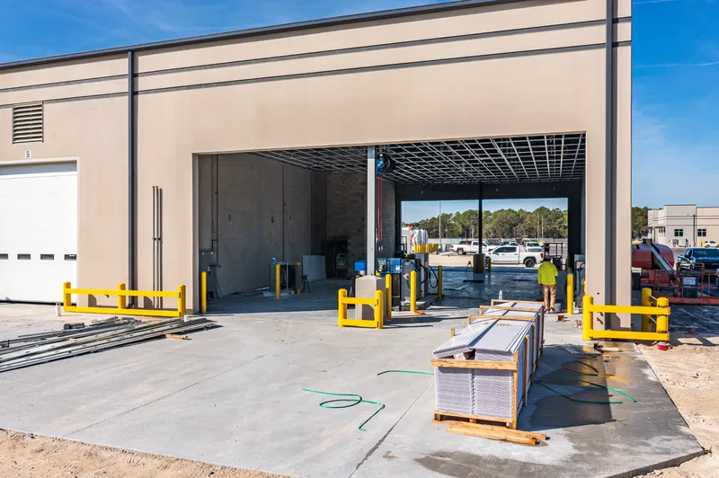
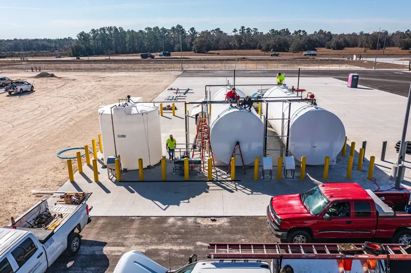
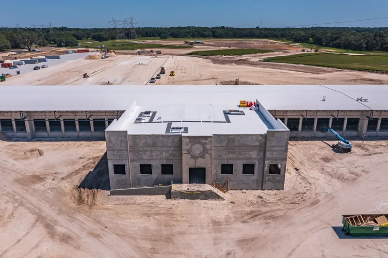
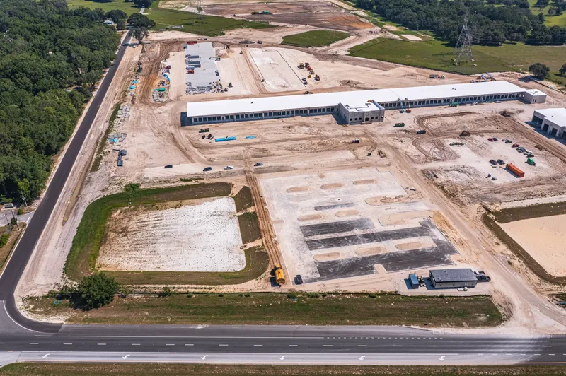
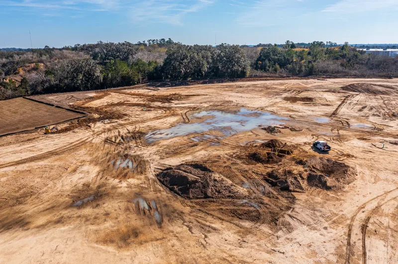
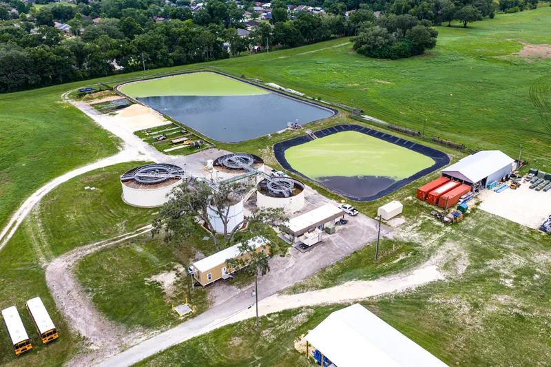
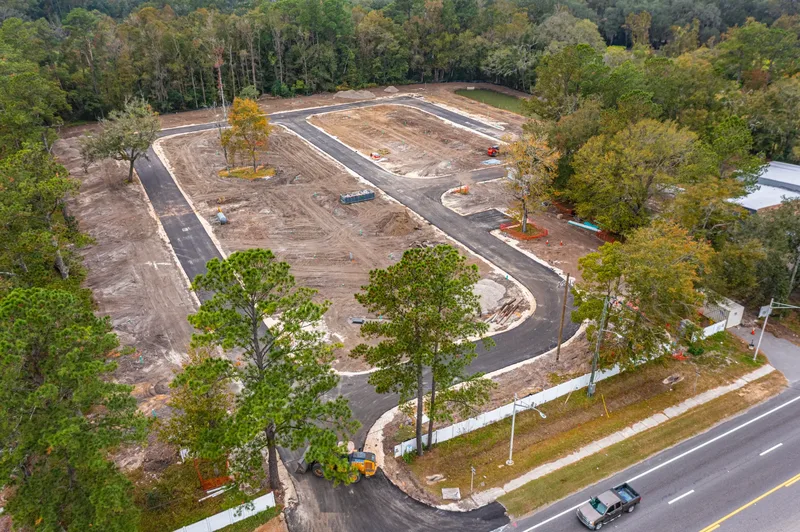
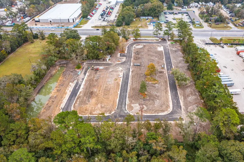
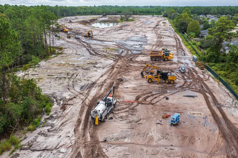
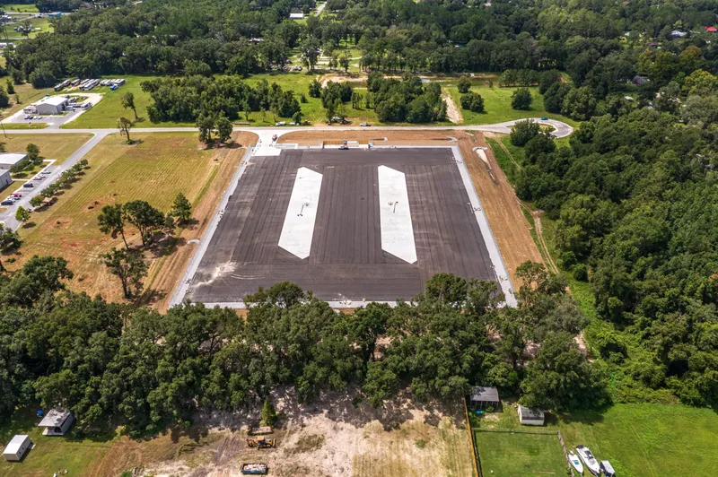
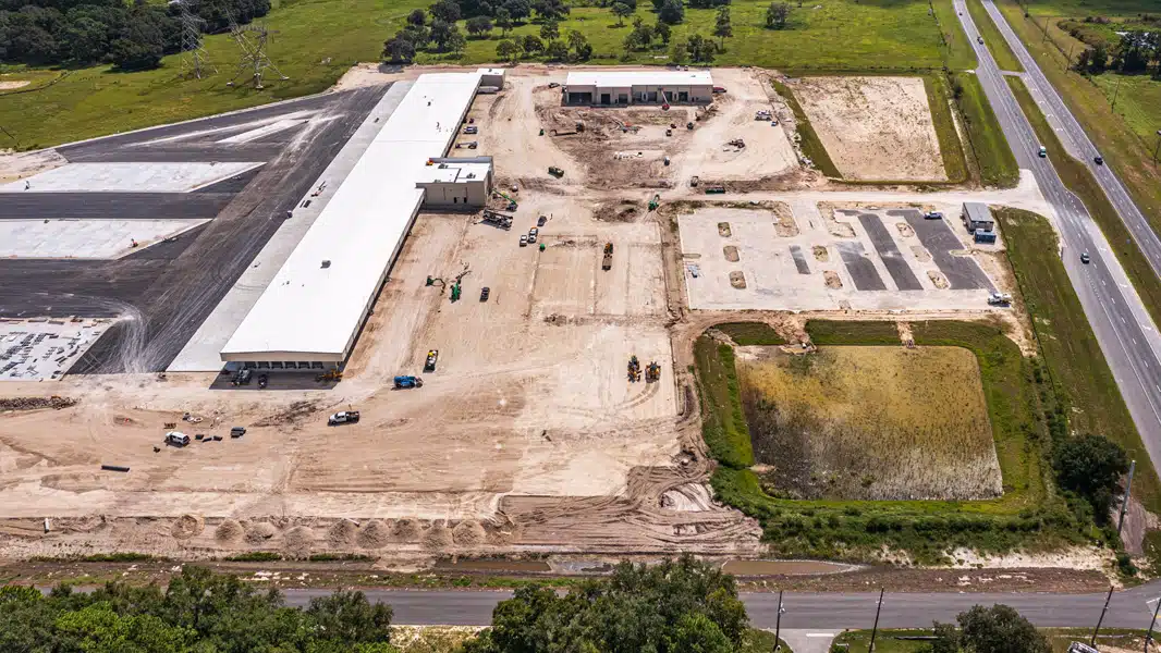
352 Construction Drone Services is Ocala's dedicated provider of construction progress photography and aerial drone monitoring for the building industry. Whether you are managing a single-lot residential build or overseeing a 100-acre commercial development along the I-75 logistics corridor, our FAA Part 107 certified pilots deliver the visual documentation your project demands.
Stakeholder Reports
Our aerial drone monitoring service across Marion and Sumter County is designed around the real needs of construction professionals. Out-of-state stakeholders no longer need to book flights to Ocala or Wildwood to verify progress — our visual reports are delivered on a consistent schedule, providing a reliable digital record from groundbreaking through final inspection.
Video & Marketing
Beyond standard Ocala and Sumter County construction progress photography, we offer marketing and pre-construction services including high-end 4K video production for project bidding, investor presentations, and public relations. We specialize in weekly site documentation, capturing 20-megapixel aerial stills and cinematic 4K video.
Supplemental Mapping
For site superintendents managing projects from The Villages to Belleview, we provide supplemental 2D orthomosaic mapping as an add-on service — useful for high-level site overviews and earthwork volume estimates without the cost of a full licensed topographic survey.
FAA Compliance
Based in the 352 area code and authorized for flight operations near Ocala International Airport (OCF), we understand the local airspace, the permitting landscape, and the pace of construction in North Central Florida. Each deliverable includes timestamped, geotagged imagery for compliance documentation.
Rapid Response
From the equestrian estates of Northwest Marion County to the rapidly developing commercial zones of Belleview and Silver Springs, our team is positioned to respond quickly — typically within 48 hours of your initial request. We serve the entire Marion and Sumter County construction market.
Progress Monitoring:
Photos & Video
Solutions
Every service is designed around the specific needs of construction project managers, site superintendents, and developers working in Ocala's booming market.
All ServicesWeekly Progress Documentation
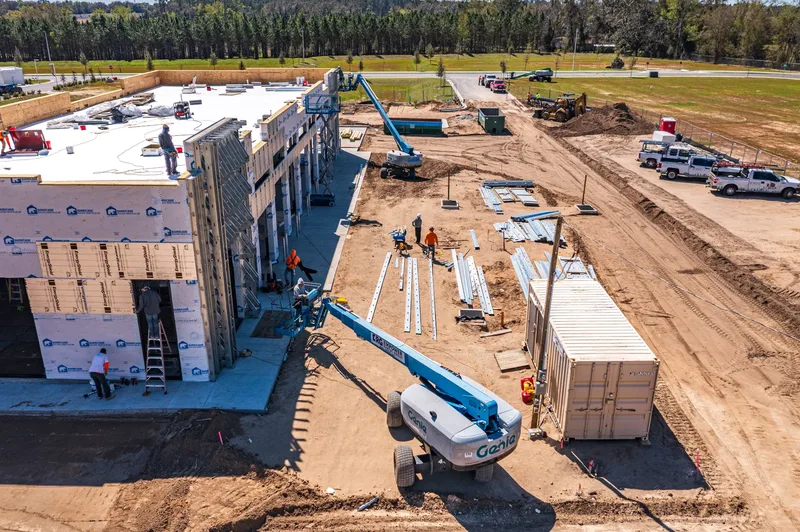
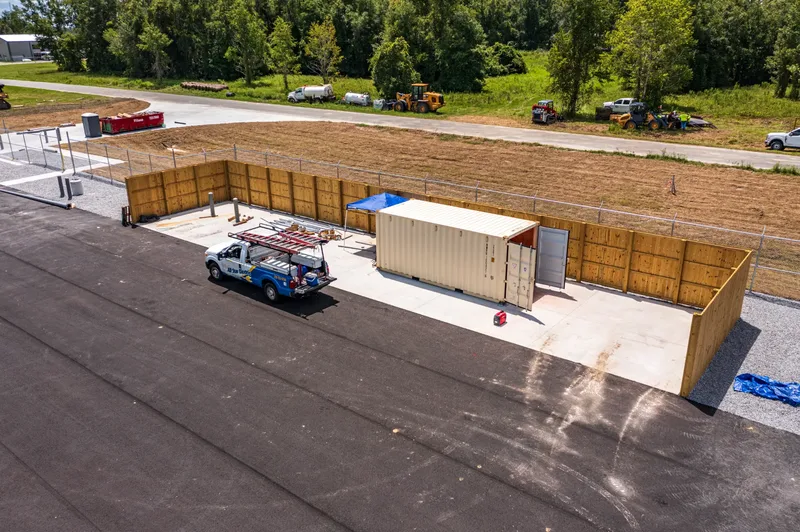
Consistent, high-definition aerial records from groundbreaking through final inspection. Weekly or monthly 4K video and 20MP stills give project managers a timestamped visual archive that satisfies lender draw requests, stakeholder updates, and internal milestone reviews — without a site visit.
Aerial Photography for Bidding & Marketing
Professional-grade aerial imagery that showcases the scale and scope of your North Central Florida projects. High-resolution stills for project bidding packages, investor presentations, and marketing materials that help you win the next contract.
4K Stakeholder Progress Reels
Edited 4K drone video produced for stakeholder meetings, owner presentations, and marketing. Show the speed and quality of your build to future clients and keep remote investors engaged with cinematic progress documentation.
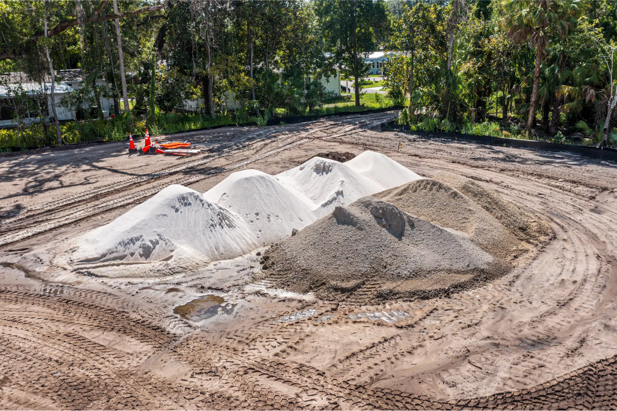
2D Site Mapping for Earthwork Verification
Supplemental orthomosaic mapping for site superintendents managing earthwork quantities, grading verification, and drainage compliance. A high-level site overview without the cost of a full licensed topographic survey.
We Match Any Specification
Your Project Requires
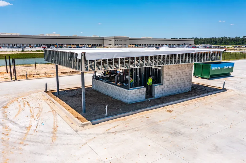
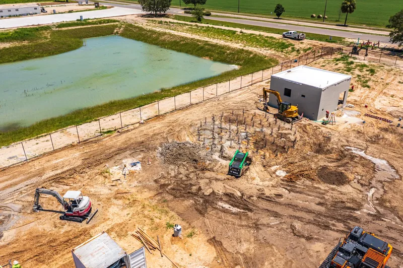
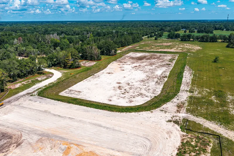
Our pre-construction documentation service creates a defensible aerial baseline of your site before any work begins — structured to match whatever specification your project contract references. Whether it's CSI 01 32 33, FDOT Section 108, a municipal engineering spec, or a custom client requirement, we adapt our deliverables to satisfy the exact format your spec dictates. When a neighbor claims your project caused damage, you have court-admissible evidence.
20MP Geotagged Aerials
Nadir and oblique imagery with GPS, timestamp, and key plan reference
4K Video + Telemetry Overlays
Altitude, heading, GPS coordinates, and custom text burned into every frame
Professional Voiceover
Narrated documentation of observed conditions, drone position, and areas of concern
Legal Defensibility
Satisfies Florida Chapter 558, AIA A201-2017, and Rules of Evidence
Why Document Before You Build?
THE COST OF NOT DOCUMENTING
Without a baseline, you can't disprove claims that your project caused drainage, vibration, or structural damage to adjacent properties.
Type I and Type II claims under AIA A201-2017 require objective evidence of conditions at time of contract.
Some construction lenders require pre-construction aerial documentation before releasing initial draws.
Pre-suit notice requires photo/video exchange within 30 days. Having a professional baseline means you're prepared from day one.
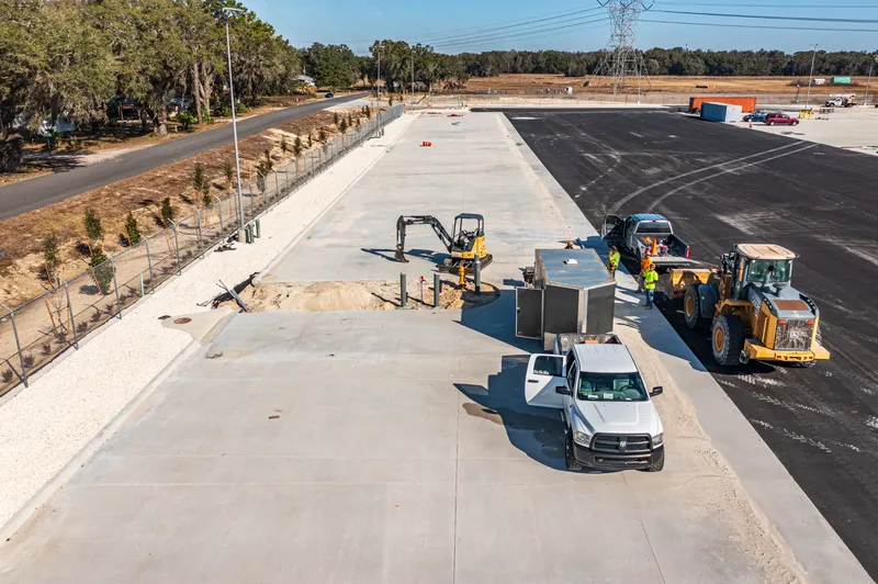
Construction Progress Monitoring
for Project Managers
in North Central Florida.
Ocala issued over 307 new building permits per 100,000 residents in early 2025 — ranking among the top 5 fastest-growing metros in the nation. We're here because this market demands a dedicated aerial partner who knows the terrain, the regulations, and the pace of local construction.
- FAA Part 107 certified commercial pilots
- Full liability insurance — $2M coverage
- Flexible delivery turnaround — you set the schedule, we meet it
- Familiar with Marion County permit requirements
- Dedicated account manager for every project
- Flexible scheduling — including weekend flights
Four Ways Project Managers
Put Aerial Data to Work
Our deliverables aren’t just photos — they’re operational tools that solve real problems on active job sites.
Lender Draw Requests
Submit timestamped aerial photos as milestone documentation for your lender’s draw schedule. No more delays waiting for an inspector to visit — our imagery provides the visual proof your bank requires.
Dispute & Delay Documentation
When a subcontractor disputes earthwork quantities or a weather event causes delays, our geotagged aerial record provides objective, court-admissible evidence of site conditions at every stage.
Schedule & Milestone Tracking
Compare weekly aerial captures side-by-side to verify that earthwork, framing, and MEP rough-ins are progressing on schedule. Catch slippage early before it compounds into costly delays.
Remote Stakeholder Reporting
Share a cloud folder link with out-of-state owners, investors, or lenders after every flight. They get a complete visual update without flying to Ocala — and you spend zero time on status calls.
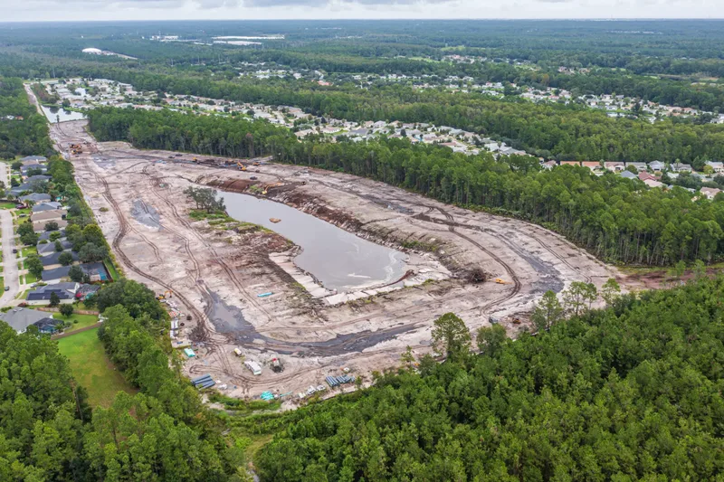
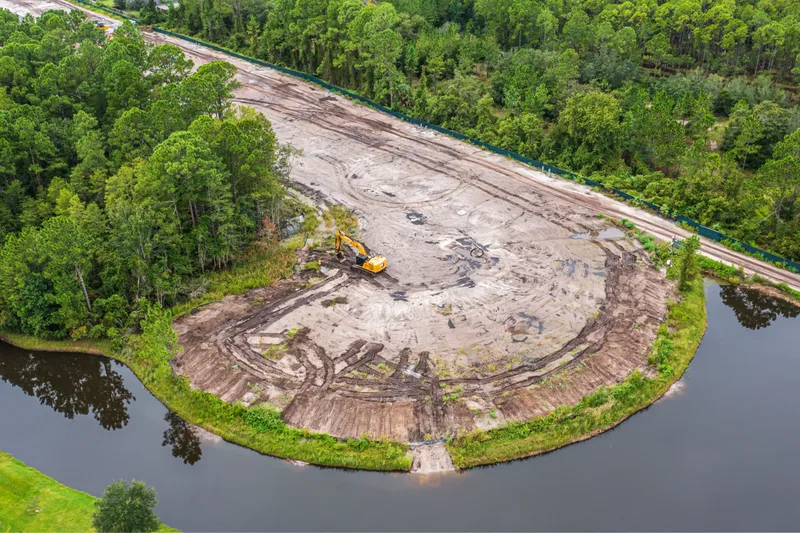
3D Site Reconstruction &
Volumetric Analysis in Ocala
When photos aren't enough, our 3D mapping flights provide survey-grade data for earthwork verification and topographic analysis. Using photogrammetric modeling — with optional RTK-GPS positioning for centimeter-level accuracy — we deliver measurable point cloud models compatible with AutoCAD and Civil 3D.
Volumetric Analysis
Precise cut/fill calculations for billing verification and earthwork progress tracking across Marion County sites.
Photogrammetric Modeling
Measurable 3D point cloud models compatible with AutoCAD and Civil 3D for precise site reconstruction and analysis.
Topographic Verification
Compare actual site conditions against engineered plans to verify grading accuracy and compliance.
What Ocala Builders Say
"Their bi-weekly aerial reports on our Silver Springs Shores development gave our out-of-state investors complete confidence in the project timeline. The consistent angles made it easy to track progress from clearing through vertical construction."
"We hired them for a 150-acre warehouse project near the I-75 corridor and the visual documentation was invaluable. Our stakeholders in Atlanta could see exactly what was happening without flying down to Ocala every two weeks."
"Professional, FAA-certified, and they understand the local airspace around OCF. We've used them on three Marion County projects now and every deliverable has been thorough and on schedule."
Aerial Drone Monitoring That Solves
Real Project Manager Problems
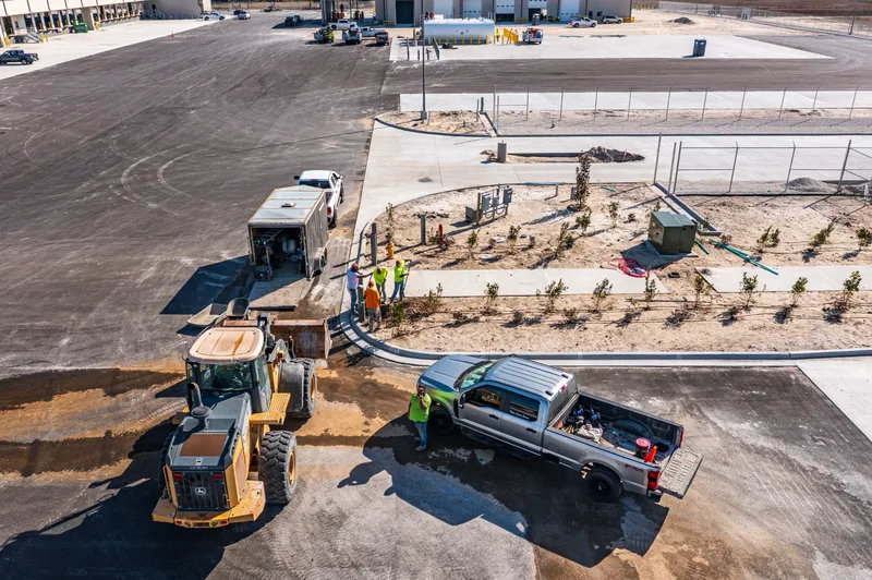
As a project manager, you're pulled in every direction — lenders want milestone photos, owners want progress updates, and out-of-state stakeholders want proof that the schedule is on track. Meanwhile, disputes over earthwork quantities, subcontractor delays, and grading deviations can cost weeks and thousands of dollars to resolve without documentation. Our drone monitoring service gives you a timestamped, geotagged visual record of every stage of construction — from clearing through vertical build — so you can answer every question without leaving your desk.
In the fast-paced North Central Florida construction market, real-time aerial documentation is no longer a luxury — it's a risk management tool. We help GCs and project managers track material stockpiles, verify subcontractor accountability, satisfy lender draw requirements, and keep remote stakeholders fully informed. This “eye in the sky” approach eliminates the need for costly site visits and creates a defensible record that protects your project from the first permit to final inspection.
How Construction Progress
Drone Monitoring Works
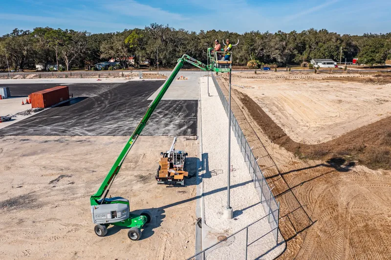
Strategic Flight Planning
Every project begins with a comprehensive airspace analysis. We handle all FAA LAANC authorizations, particularly for sites near Ocala International Airport (OCF) or within The Villages' restricted zones, ensuring 100% legal and insured flight operations.
Precision Aerial Capture
Utilizing industry-leading drone technology, we conduct scheduled weekly or monthly flyovers. We focus on capturing consistent angles and elevations to provide an accurate 'time-lapse' feel of your project's vertical and horizontal progress.
Secure Digital Delivery
You tell us when you need it flown and when you need it delivered — we'll make sure it's ready. Our 4K video and 20MP stills are delivered via secure cloud-based folders, ready to be shared instantly with investors, owners, and site superintendents.
Serving Central Florida's
Fastest Growing Construction Hubs
Gainesville & Alachua County
Serving UF campus-adjacent developments, I-75 commercial corridors, and residential growth throughout Gainesville and Alachua County.
Ocala & Marion County
Providing premier site monitoring for the I-75 logistics corridor, industrial warehouses, and residential developments throughout Ocala, Belleview, and Marion County.
Sumter County & Wildwood
Supporting the rapid expansion of The Villages, industrial hubs in Wildwood, and commercial growth throughout Sumter County.
Frequently Asked
Questions
Our progress monitoring packages start at $250 per flight for single-visit documentation and scale based on frequency and site size. Monthly retainer packages for weekly or bi-weekly flights offer the best value for active construction projects. Contact us for a custom quote based on your project location, acreage, and documentation schedule.
A single prevented dispute over earthwork quantities can save $10,000–$50,000 in legal and rework costs. Lender draw approvals that typically take 2–3 weeks can be accelerated with aerial milestone documentation. And eliminating just two unnecessary site visits per month for an out-of-state PM saves hundreds of dollars in travel time. Most clients find that drone monitoring pays for itself within the first month.
We operate DJI Mavic 3 Enterprise and DJI Matrice series drones equipped with 4K/6K cameras and advanced obstacle avoidance. Every flight uses pre-planned waypoint missions to ensure consistent angles and elevations across visits, giving you a true time-lapse comparison of your project’s progress. RTK-GPS for centimeter-level positioning is available as an add-on for mapping and survey-grade deliverables.
Most active construction projects in Ocala and Marion County benefit from weekly or bi-weekly flights during critical phases like earthwork, framing, and MEP rough-in. For longer-duration projects in Sumter County or Alachua County, monthly documentation is often sufficient for stakeholder updates and lender reporting. We’ll recommend a schedule based on your project phase and milestone requirements.
Absolutely. Our timestamped, geotagged aerial imagery provides an objective, court-admissible record of site conditions at every stage. This documentation has been used to resolve disputes over earthwork quantities, subcontractor milestone claims, weather delay documentation, and pre-pour concrete conditions. It’s one of the most valuable risk management tools available to a project manager.
Yes. 352 Construction Drone Services is fully FAA Part 107 certified and carries a $2M+ aviation liability policy specifically tailored for commercial construction site environments in Florida, with additional coverage available upon request. We can provide a certificate of insurance naming your company as an additional insured.
We coordinate directly with your site superintendent before each flight to identify active work zones and ensure crew safety. Our pilots conduct a pre-flight site walk, establish a safety perimeter, and notify all ground personnel before takeoff. We’re experienced flying over active sites across Marion, Alachua, and Sumter County and follow all OSHA and FAA safety protocols.
Most projects can be scheduled within 48 hours of initial contact. For sites near controlled airspace — such as Ocala International Airport (OCF) or Gainesville Regional Airport (GNV) — FAA LAANC authorization is handled in advance and typically adds no scheduling delay for standard flights. Some airspace authorizations require up to 72 hours’ notice; for recurring weekly or bi-weekly flights, we coordinate this upfront so your site is flown on the same day every visit without interruption. Urgent same-day flights are available on a case-by-case basis.
Every deliverable package includes: 20MP aerial stills from consistent angles and elevations, 4K video footage of the full site, timestamped and geotagged metadata for every image, and organized cloud folder delivery on your schedule. Custom deliverables — including edited highlight reels, orthomosaic maps, written site condition summaries, and anything else your project requires — are available on request.
Yes. We serve the entire 352 area code across North Central Florida, including Gainesville and Alachua County, Wildwood and Sumter County, Spring Hill and Hernando County, Crystal River and Citrus County, and Leesburg, Clermont, and Lady Lake in Lake County. View our full service area map at /service-areas.
6 Counties. 13 Cities.
One Trusted Provider.
352 Construction Drone Services covers the full North Central Florida 352 area code — from Gainesville to Clermont, Crystal River to Lady Lake.
Aerial Documentation Across
North Central Florida
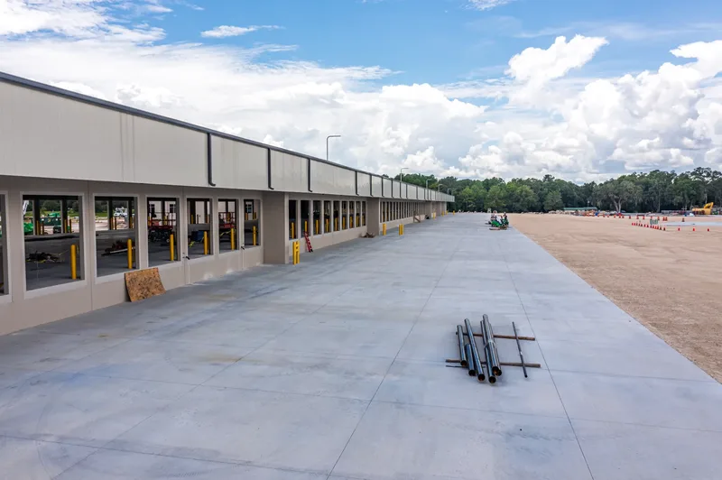
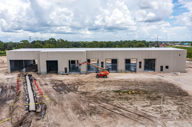
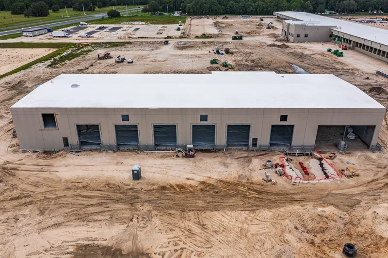
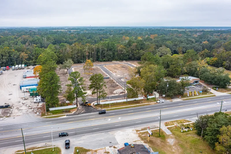
A sample of recent construction progress monitoring, pre-construction surveys, and aerial photography projects — from Wildwood to Jacksonville.