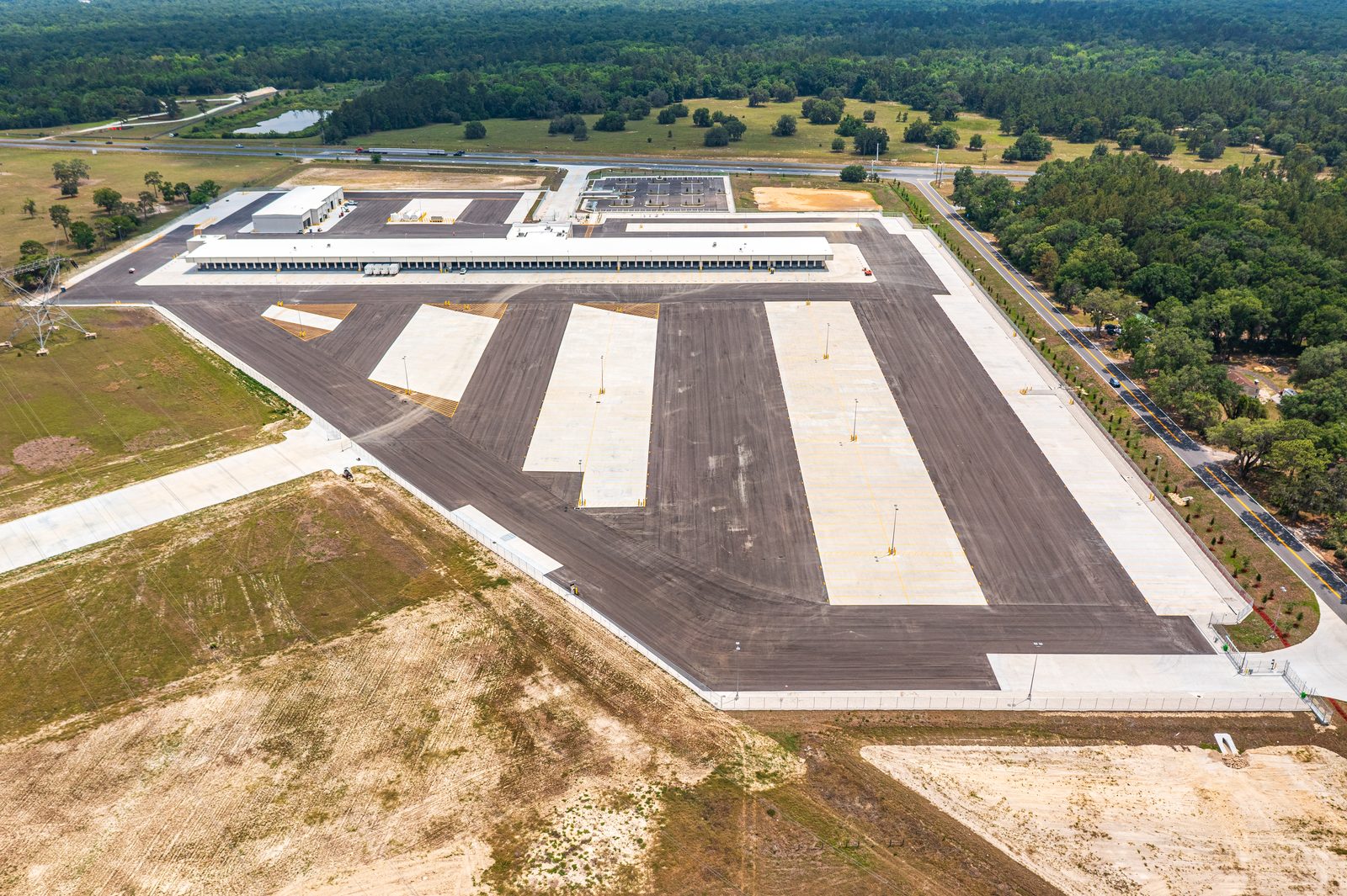
LTL Terminal Construction
Bi-Weekly Drone Documentation
Wildwood, FL
39 consecutive aerial visits documenting the construction of an Old Dominion Freight Line cross-dock terminal on the I-75 logistics corridor — from geotechnical earthwork through final twilight and night photography.
Aerial Progress Tracking for the
I-75 Logistics Corridor
The Wildwood interchange on I-75 has become one of the most active logistics development nodes in North Central Florida. As distribution and freight networks expand southward from the Jacksonville and Orlando metro areas, Sumter County's position at the intersection of I-75 and the Florida Turnpike makes it a natural location for LTL terminals, cross-dock facilities, and last-mile distribution centers.
This project — the construction of a new Old Dominion Freight Line cross-dock terminal in Wildwood — required 19 months of consistent aerial documentation. The site presented an unusual geotechnical challenge: the parcel required an engineered underdrain system and over 30 feet of engineered fill before construction could begin. Our bi-weekly drone flights documented every phase, from the initial earthwork through the final dock door installation and paving.
The final deliverable for this project included a twilight and night photography session — capturing the completed facility with its exterior lighting active. These images serve as the definitive visual record of the finished terminal and are used in marketing, investor reporting, and operational documentation.
Project Specifications
| Facility Type | LTL Cross-Dock Terminal |
| Operator | Old Dominion Freight Line |
| Location | Wildwood, FL — Sumter County |
| Corridor | I-75 Logistics Corridor |
| First Flight | October 9, 2023 |
| Final Flight | May 6, 2025 |
| Total Visits | 39 (38 progress + 1 final shoot) |
| Flight Cadence | Bi-weekly |
| Deliverables | 20MP stills, 4K video, twilight & night |
| Reliability | 39/39 on-time deliveries |
Scrub Through 39 Visits of
Bi-Weekly Aerial Progress Photos
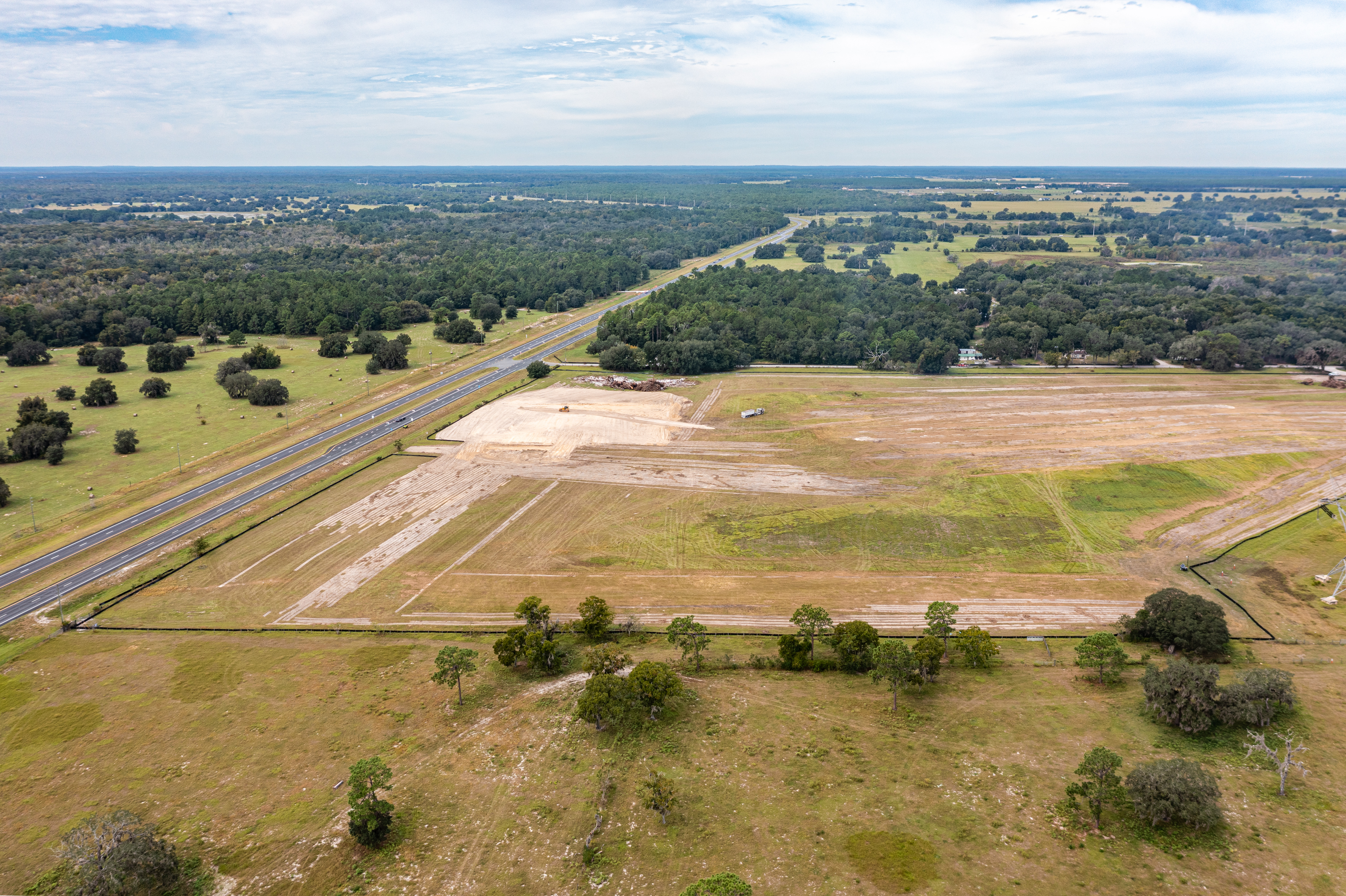
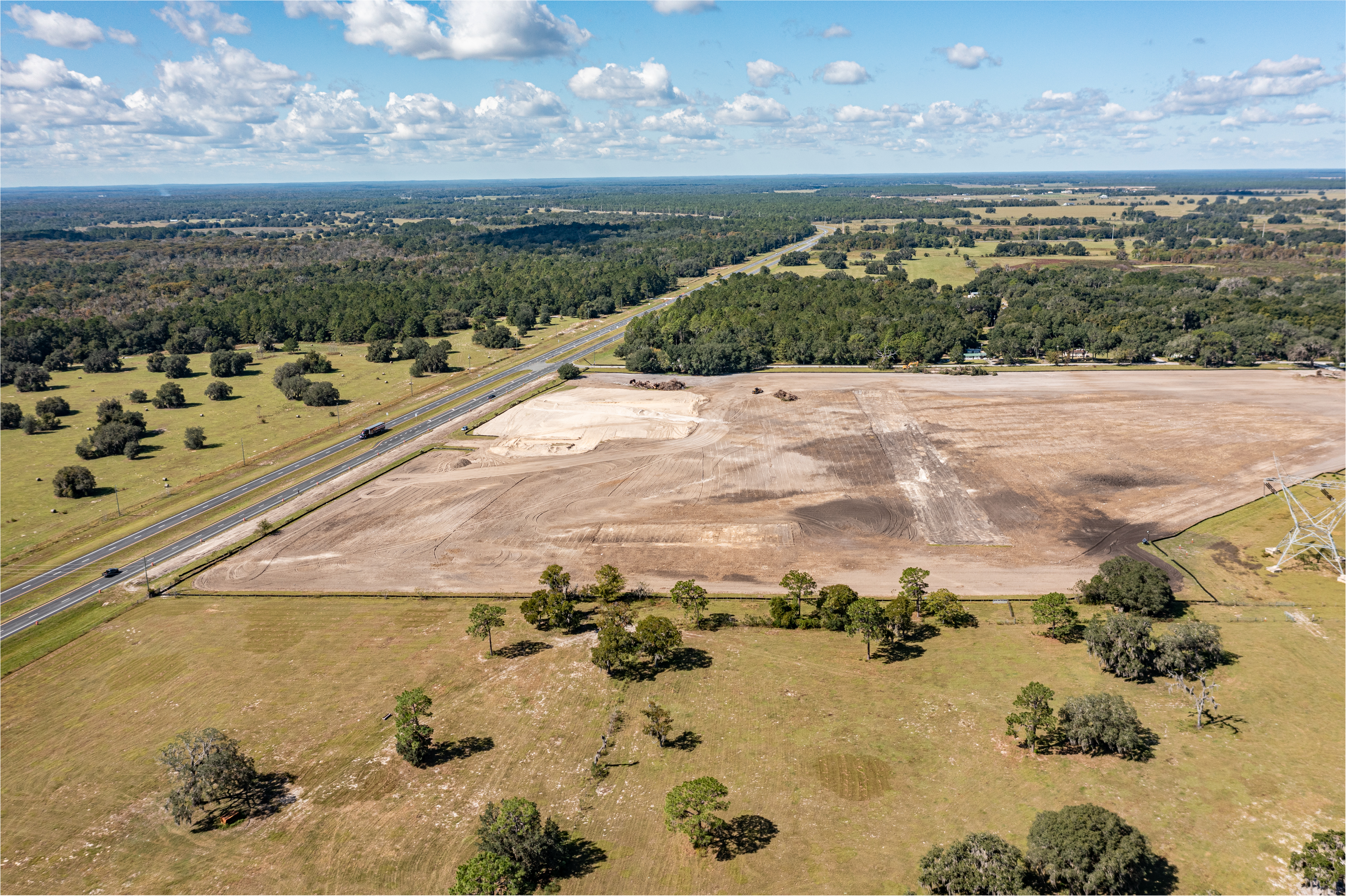
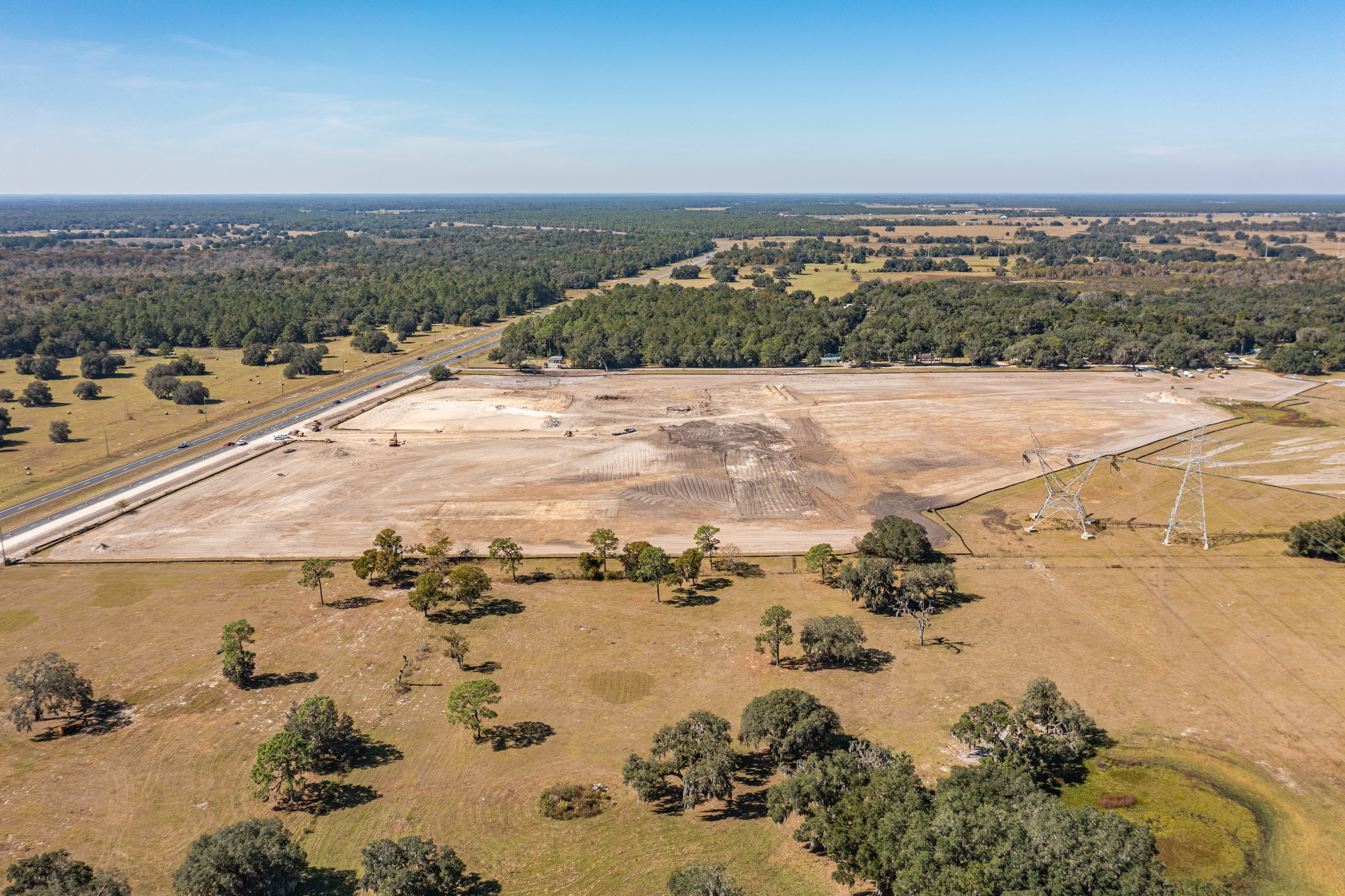
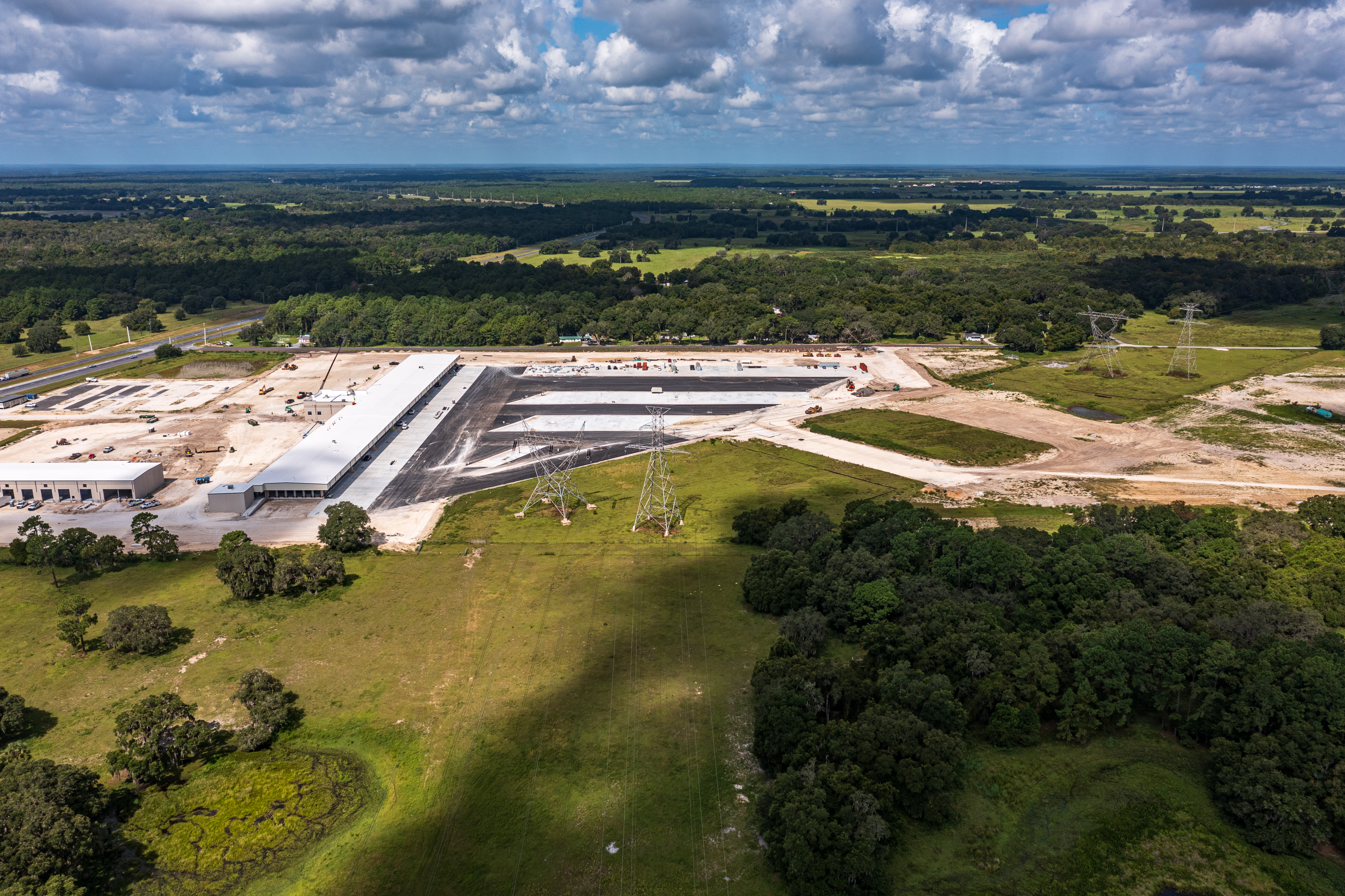
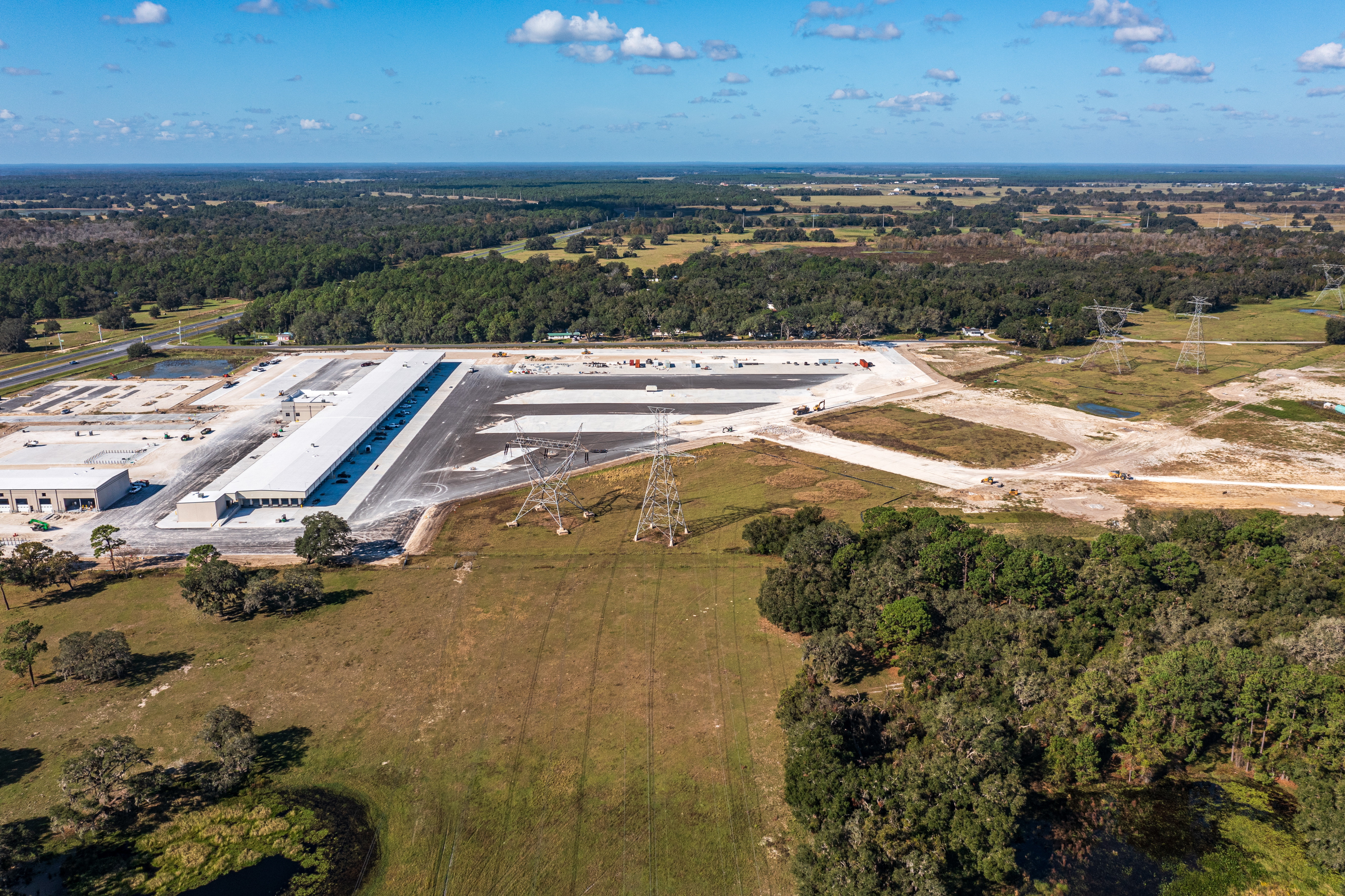
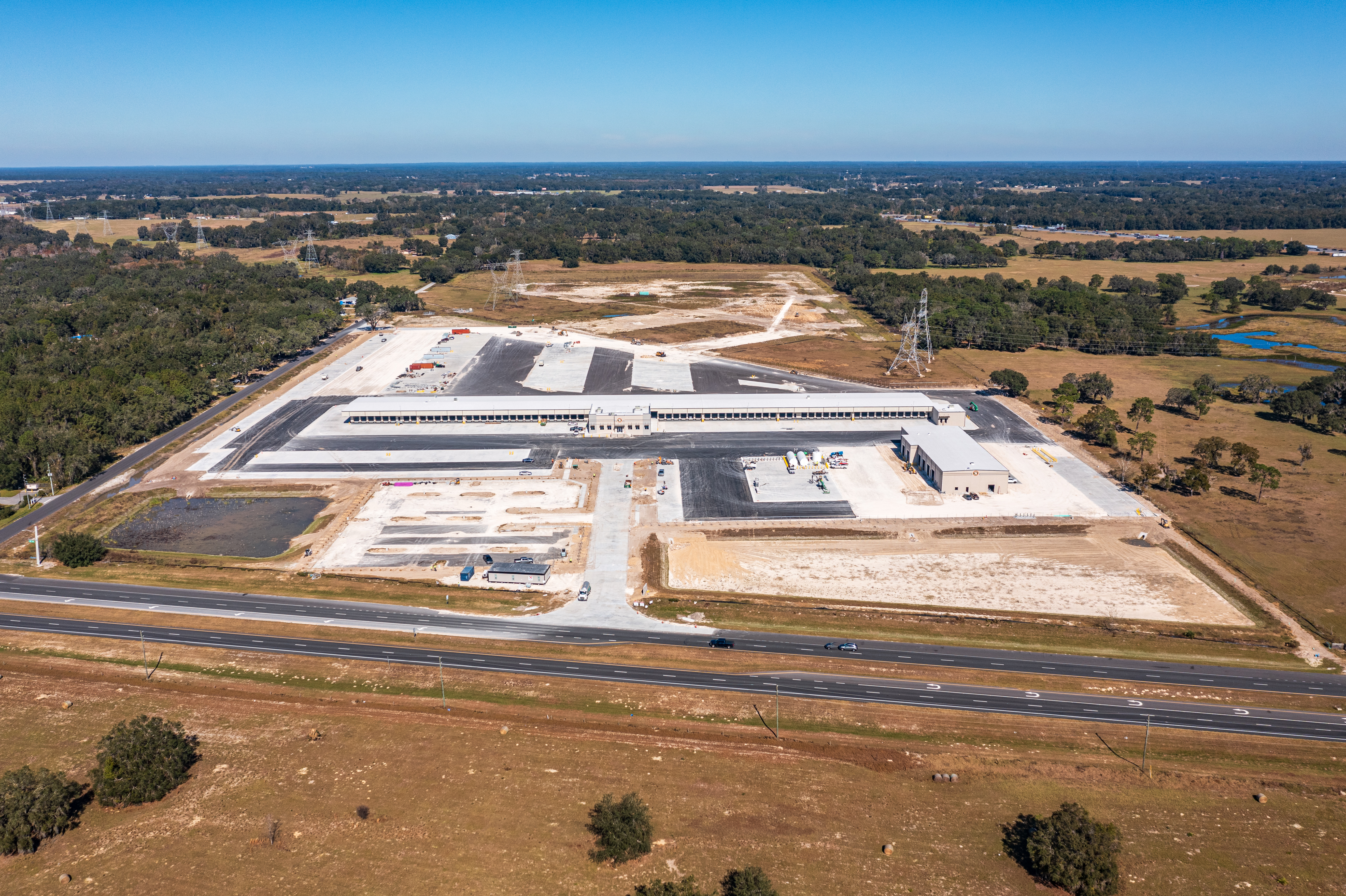
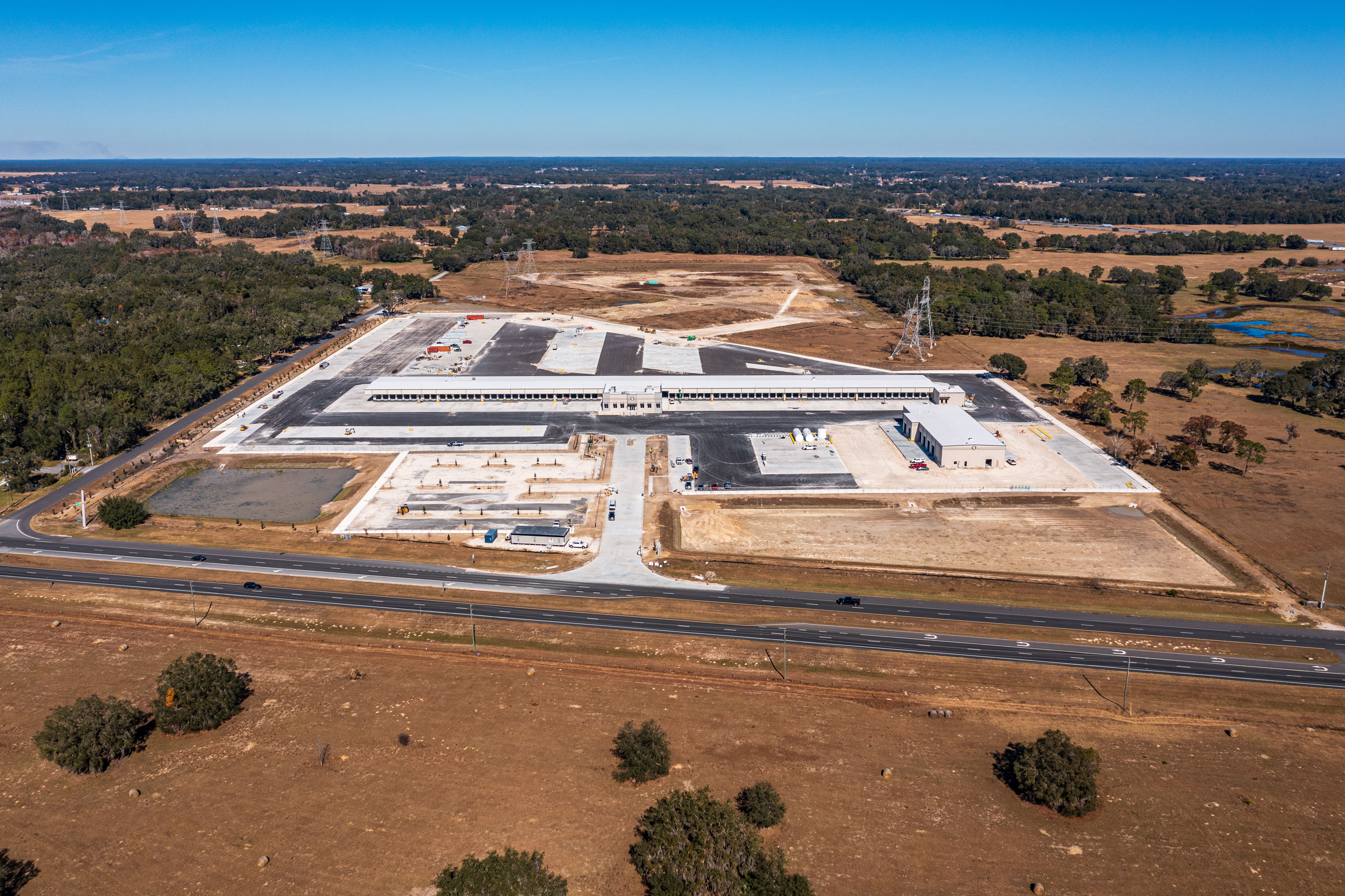
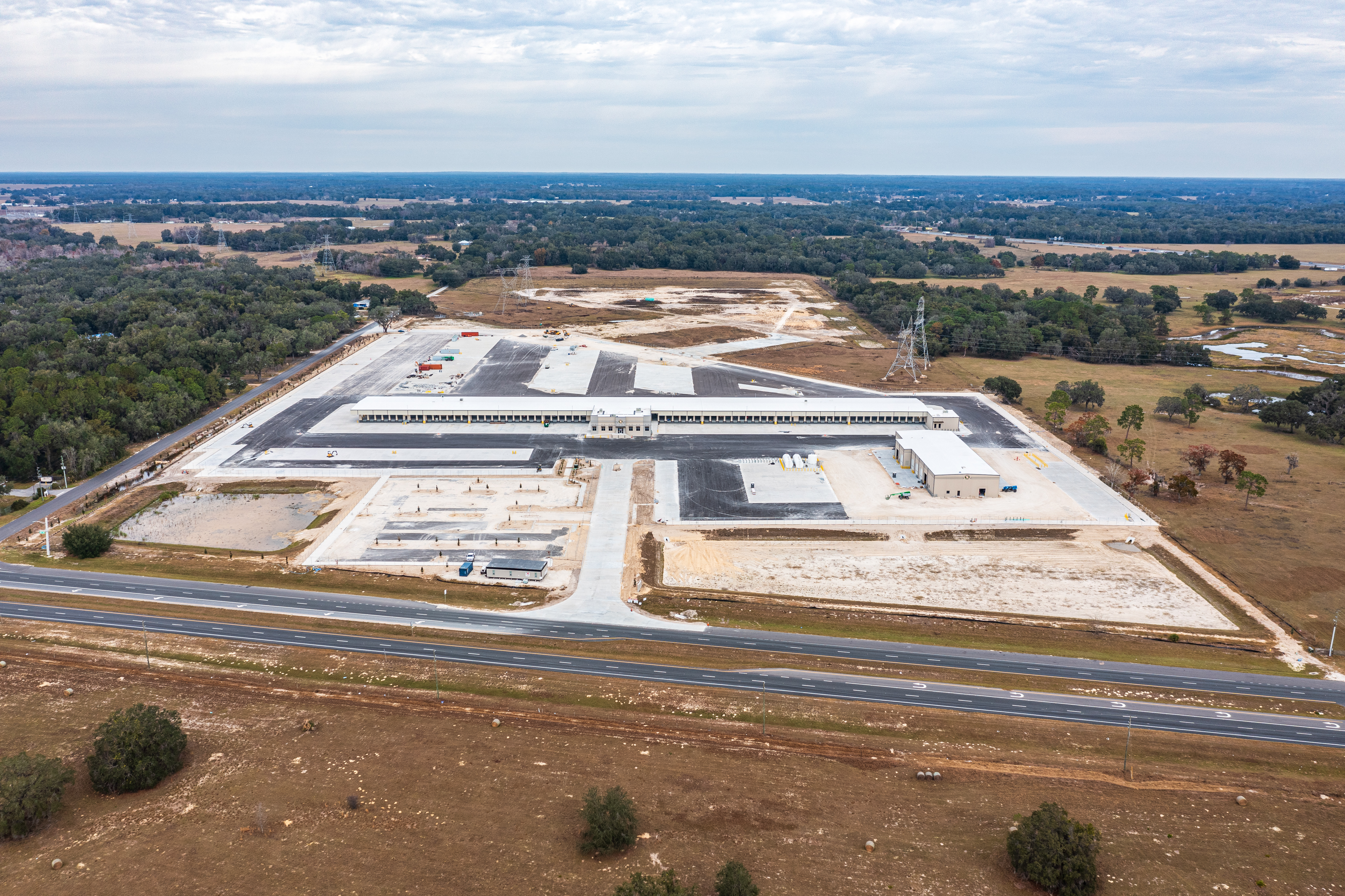
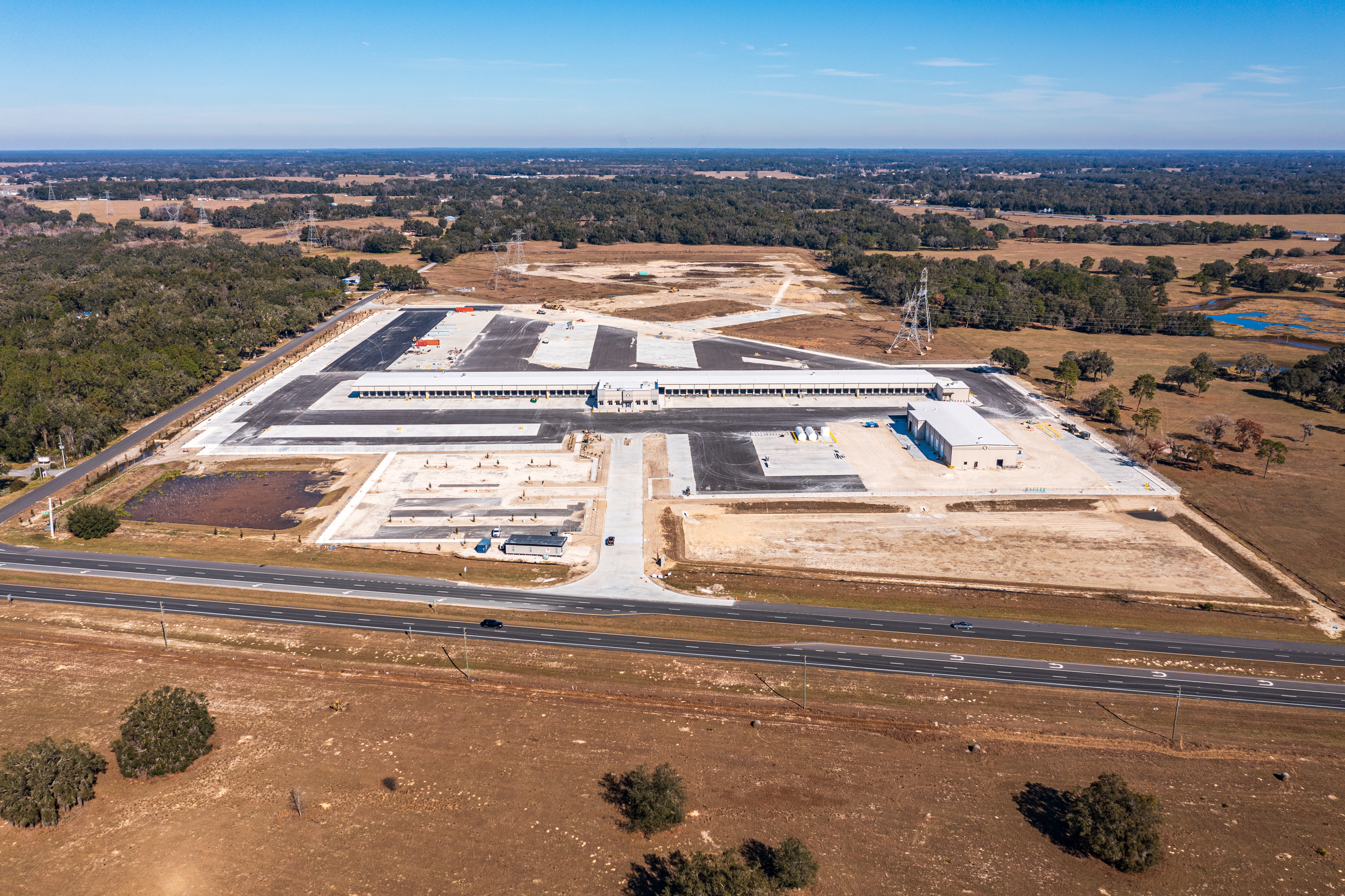
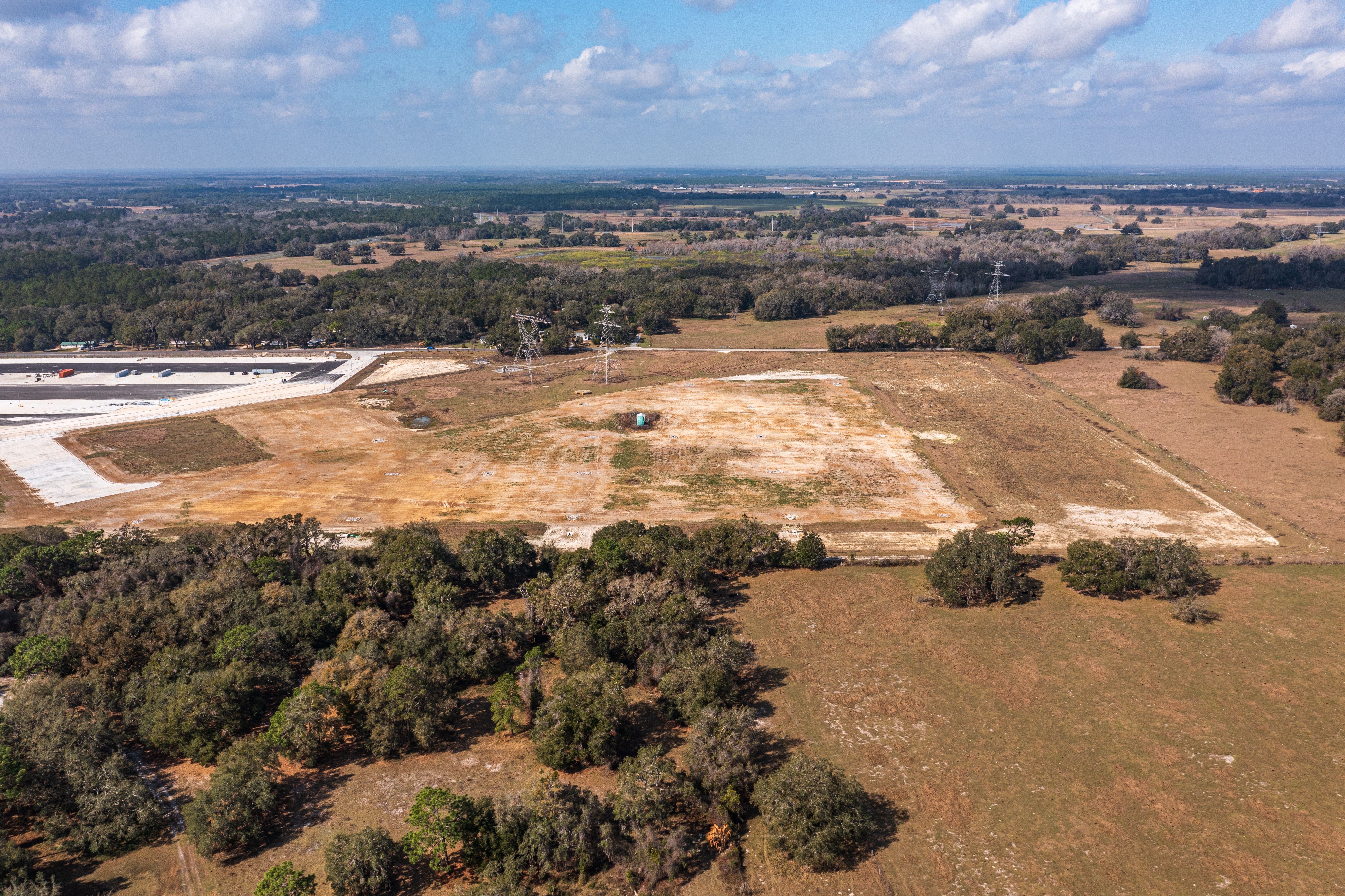
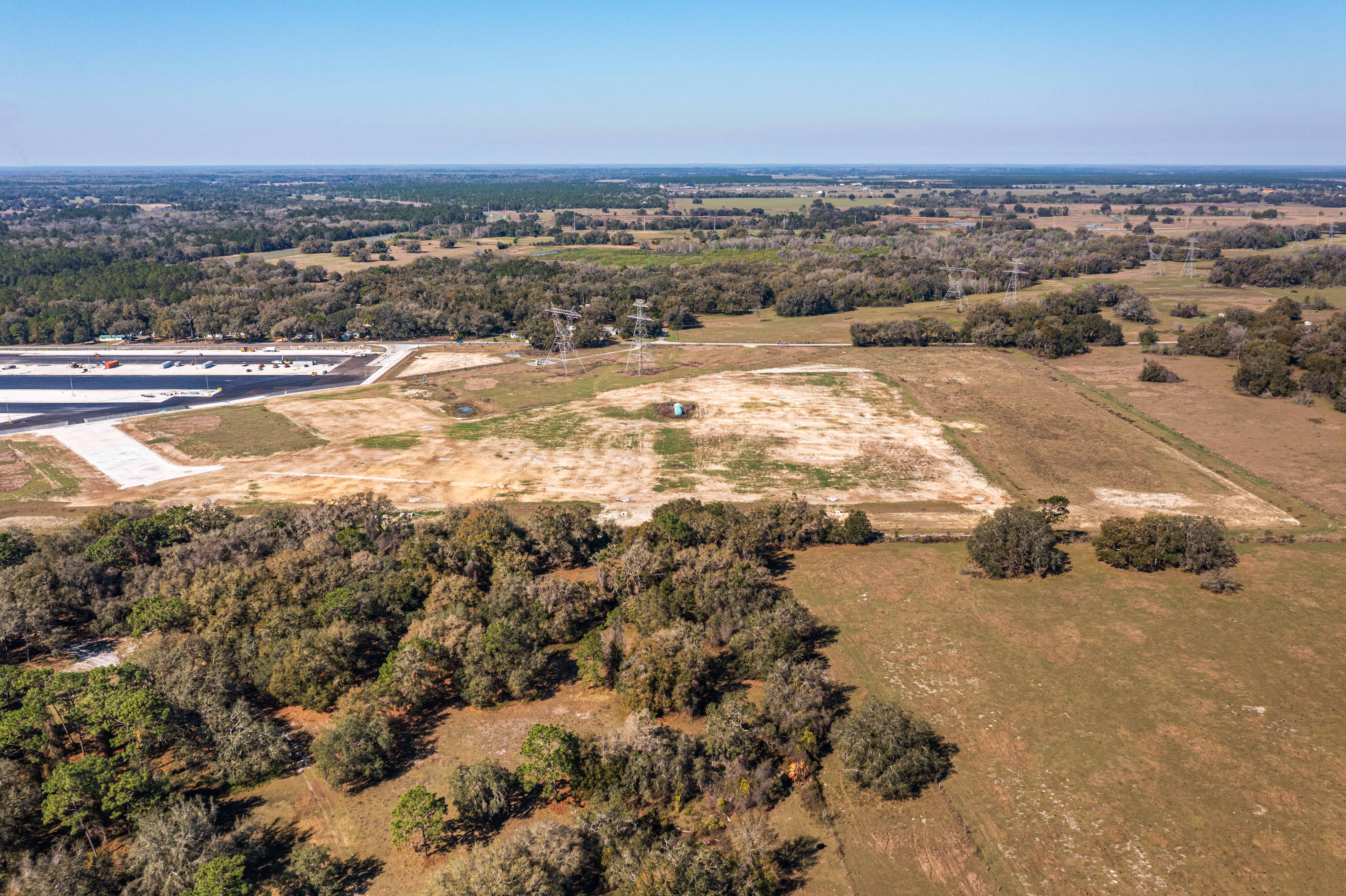
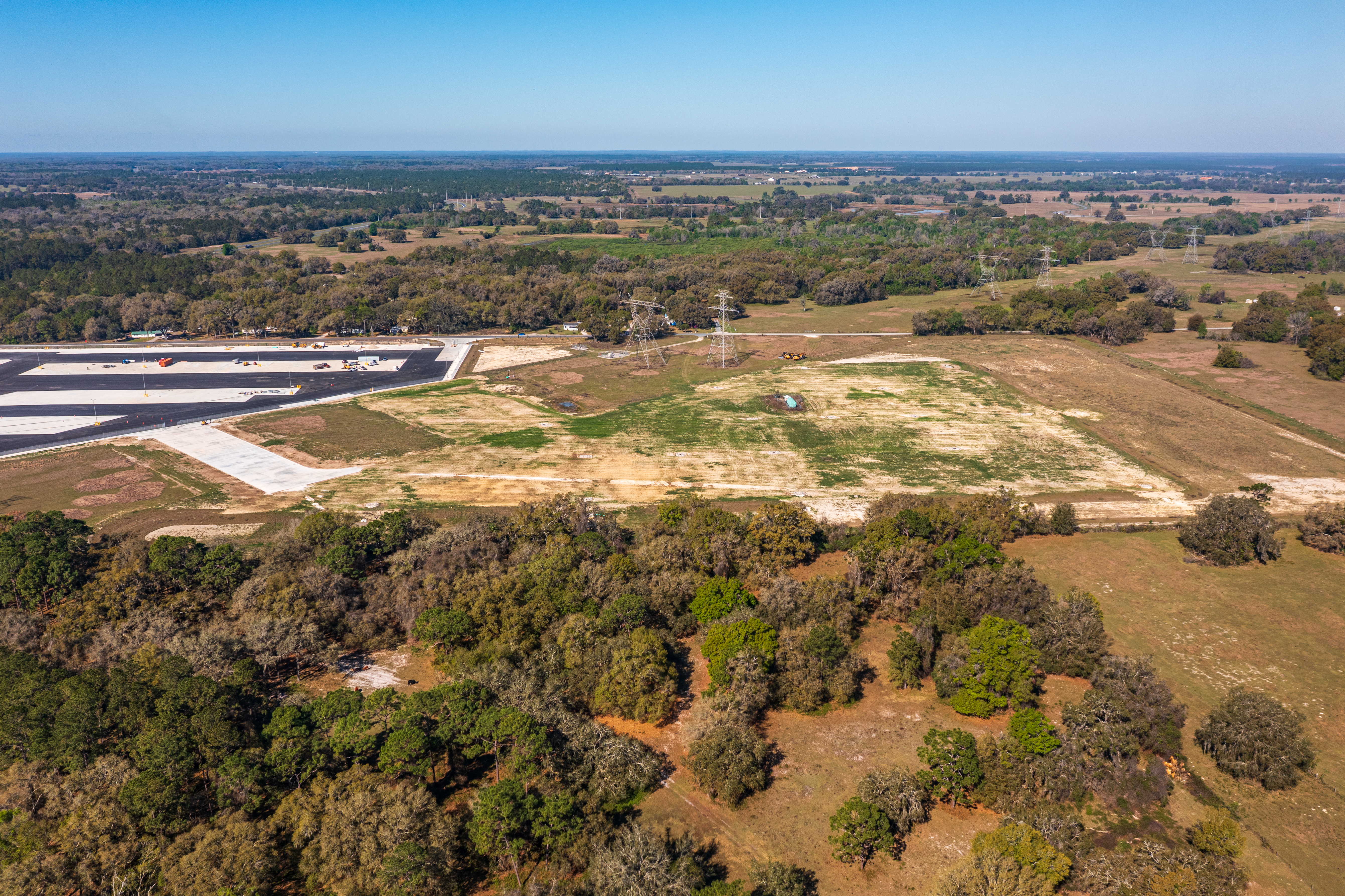
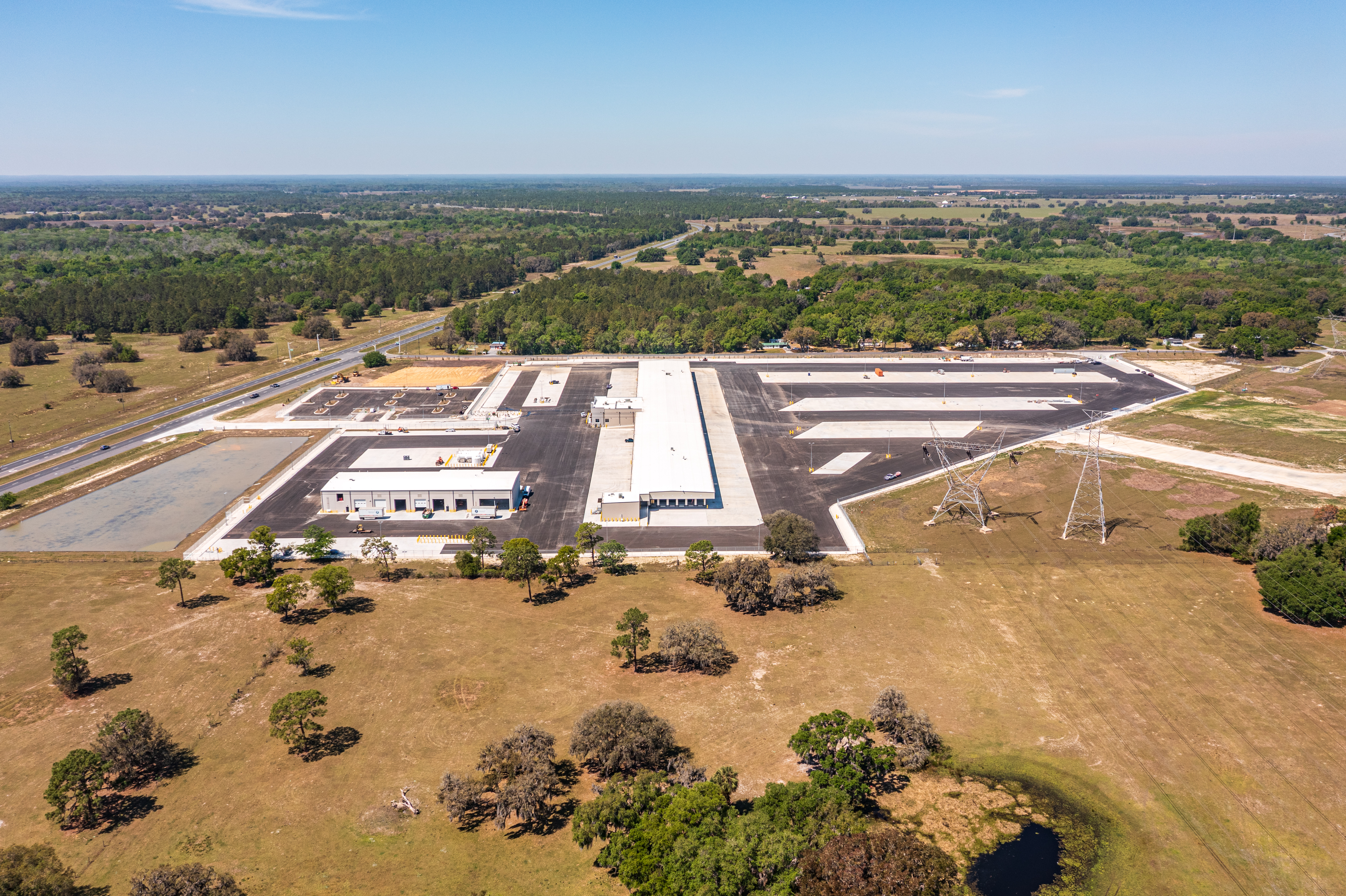
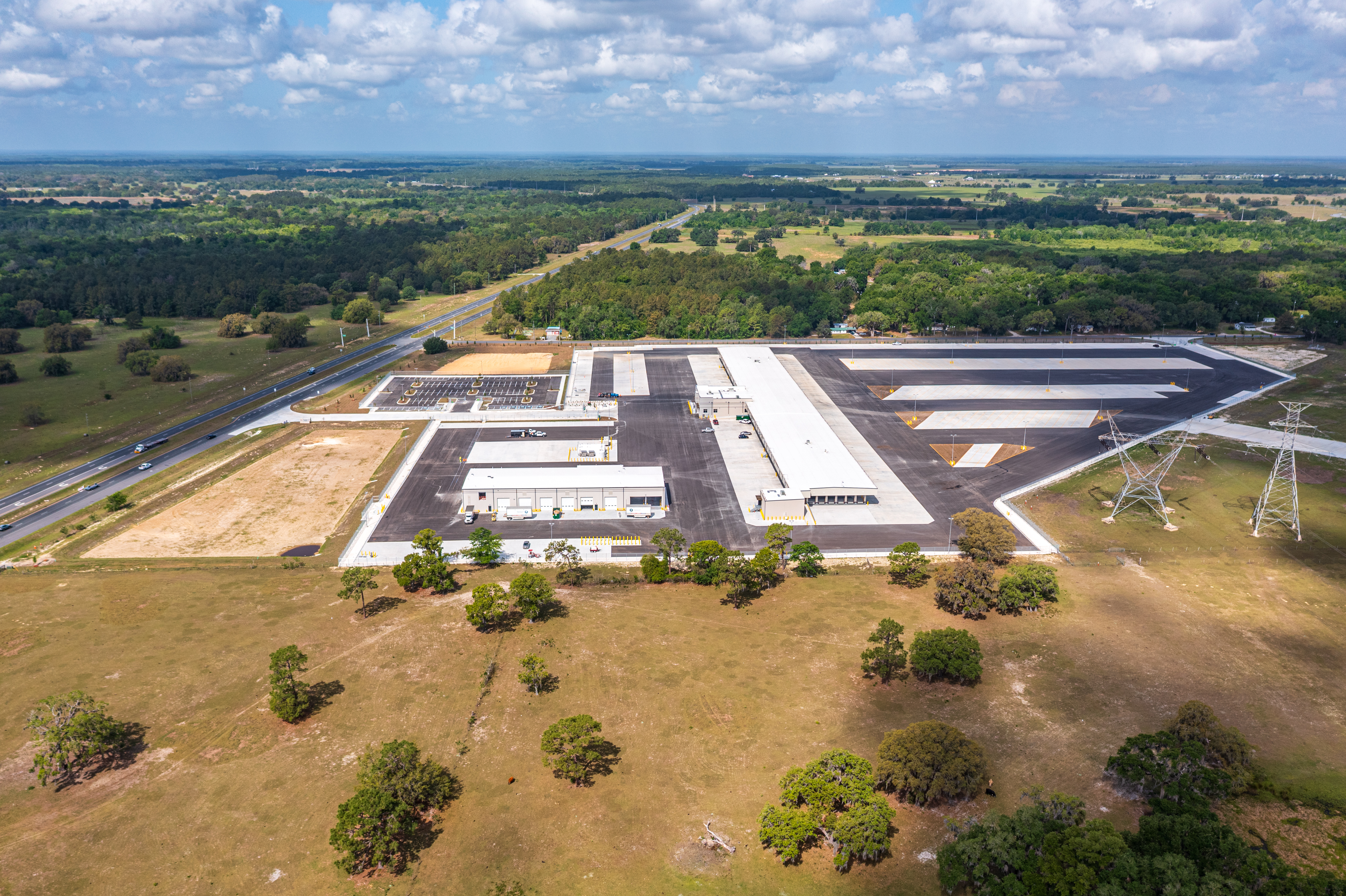
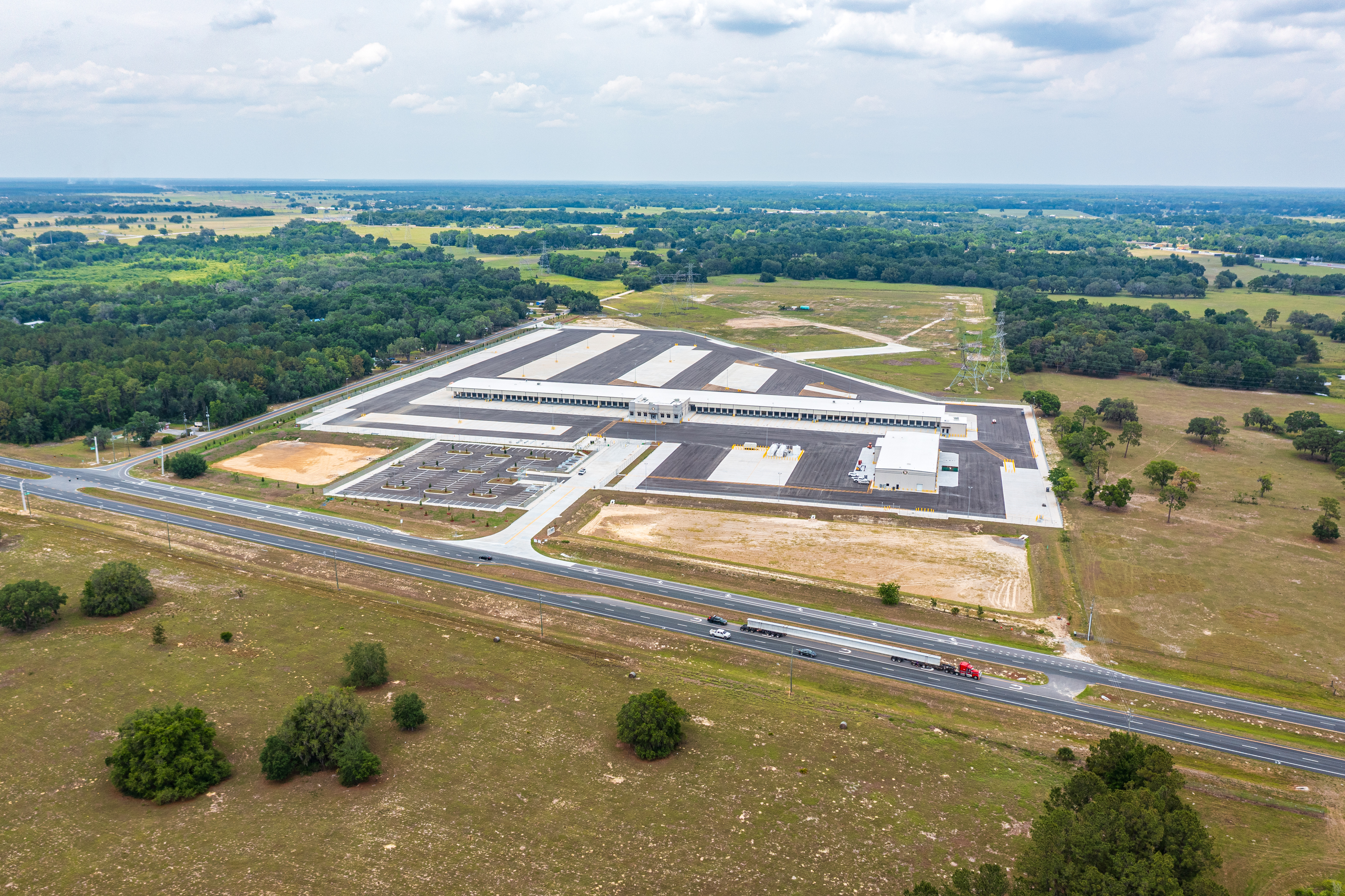
Drag the slider to move through the chronological aerial record. Each position shows the representative photo from that visit.
From 30 Feet of Fill
to a Completed LTL Terminal
Geotechnical Earthwork & Site Preparation
The Wildwood site presented a significant geotechnical challenge before a single dock door could be framed. The parcel required an engineered underdrain system and over 30 feet of engineered fill to achieve the bearing capacity needed for a heavy-use LTL terminal. Our bi-weekly aerial progress photos documented every stage of this massive earth-moving operation — cut-and-fill verification, compaction lifts, and drainage installation — providing objective visual records for the site engineers and lender before the foundation was ever poured. This type of early-phase aerial documentation is critical for projects with complex geotechnical requirements: it creates an irrefutable visual record of what's underground before it's covered.
Twilight & Night Aerial Photography
of the Completed Terminal
The final visit for this project included a dedicated twilight and night photography session. As the sun set over the I-75 corridor, we captured the completed Old Dominion terminal with its exterior lighting active — dock yard illumination, building signage, and facility lighting — producing the most visually compelling images of the entire 19-month engagement.
Twilight Photography
61 images capturedNight Photography
63 images capturedTwilight and night aerial photography is available as an add-on to any progress monitoring package. It's typically scheduled for the final visit once construction is substantially complete, and it produces the most visually compelling images of the project — ideal for marketing materials, investor reporting, and operational documentation. Contact us to discuss adding twilight/night photography to your project.
The Same Shot, Every Two Weeks
For 19 Months Straight
Consistent aerial documentation requires more than showing up. It requires flying the same GPS waypoints, at the same altitude, from the same cardinal angles — every single visit.
Pre-Programmed GPS Waypoints
Every flight follows the identical mission plan. The drone doesn't deviate — same path, same altitude, same angles on every visit.
Sub-Meter Repeatability
GPS waypoint missions achieve sub-meter positional accuracy, ensuring the camera is in the same position on Visit 39 as it was on Visit 1.
True Time-Lapse Comparison
Because the vantage points are consistent, you can place any two visits side by side and see exactly what changed — and what didn't.
Objective Visual Record
Consistent angles and elevations mean the aerial record is objective and defensible — useful for lender draws, pay apps, and dispute resolution.
39 Visits.
39 On-Time Deliveries.
Over 19 months — through summer heat, winter weather, and the full complexity of an active construction site — every scheduled flight was completed and delivered on time. No missed visits. No late deliveries. No excuses.
For a bi-weekly drone documentation program, reliability isn't a bonus feature — it's the entire value proposition. If you can't count on the aerial record being there when you need it, it's not a documentation program. It's just occasional photos.
Bi-Weekly Drone Documentation
for LTL & Cross-Dock Projects
Bi-weekly construction drone documentation means a licensed FAA Part 107 pilot flies the site every two weeks and delivers a full set of high-resolution aerial photos and 4K video. For an LTL terminal or cross-dock facility, this cadence is ideal because it captures every major construction milestone — earthwork, foundation, structural steel, dock door installation, paving — without the cost of weekly flights. The result is a complete visual record that project managers, lenders, and out-of-state stakeholders can use to verify progress without a site visit.
A cross-dock facility has dozens of dock doors on both sides of the building, extensive yard paving, and complex underground infrastructure. From ground level, it's nearly impossible to get a comprehensive view of progress across the full footprint. Aerial photos give project managers, GCs, and lenders a true bird's-eye perspective — you can see the full dock door count, the paving progress, the yard striping, and the building envelope all in a single frame. This is particularly valuable for remote stakeholders who can't be on-site every week.
The Wildwood site required an engineered underdrain system and substantial engineered fill before construction could begin. We documented every stage of the earthwork phase with aerial photos, providing objective visual records of the cut-and-fill progress, compaction lifts, and drainage installation. These early-phase records are valuable for lender draws and for resolving any future questions about what's underground — once the foundation is poured, that visual record is gone.
Twilight and night aerial photography captures a completed facility with its exterior lighting active — dock yard lights, building illumination, and signage. It's typically done as a final deliverable once construction is complete, and it produces the most visually compelling images of the project. For an LTL terminal, night photography showcases the operational scale of the facility in a way that daytime shots can't match. We offer twilight and night shoots as an add-on to any progress monitoring package.
Every flight uses pre-programmed GPS waypoint missions. The drone flies the same path, at the same altitude, capturing the same angles on every visit. This isn't something a pilot can replicate manually — it requires mission planning software and a drone with precise GPS hold. The result is a true time-lapse comparison: you can place Visit 1 and Visit 39 side by side and see exactly what changed, because the camera was in the same position both times.
Yes. Wildwood and the surrounding I-75 logistics corridor in Sumter County is one of our primary service areas. We cover all of Sumter County, including Wildwood, The Villages, and the commercial and industrial development along the I-75 interchange. We also cover Marion County (Ocala), Alachua County (Gainesville), Hernando County (Brooksville), Citrus County, and Lake County.
Each visit includes 20MP aerial stills from consistent GPS waypoints, 4K video footage of the full site, and timestamped/geotagged metadata on every image. Deliverables are organized in a cloud folder and delivered on the agreed schedule. For the final visit on this project, we also provided a twilight and night photography session as a separate deliverable package.
Contact us through the form on this site or call 352.955.8565. We'll schedule a free consultation to discuss your project's scope, cadence, and deliverable requirements. For most projects in our service area, we can begin documentation within 48 hours of initial contact.
Services & Service Areas
Set Up Bi-Weekly Drone
Documentation for Your Site
Whether you're managing an LTL terminal, a cross-dock facility, a distribution center, or any other commercial construction project in North Central Florida — we'll build a recurring documentation program around your schedule and your deliverable requirements.